Black Pond via Mattabesett Trail, Middlefield, CT


The Mattabesett Trail extends over 50 miles throughout the state of Connecticut. The first half of this horseshoe like trail follows high trap rock ridges of the Metacomic Ridge, from Guilford south to Meriden. The second part extends extends north from Guilford to Middletown where it ends at the Connecticut River. There are multiple areas throughout the state to hop on the trails. You will find numerous picturesque views along the way. One of my favorites spots to check out is Black Pond in Middlefield. I came across this trail a few years ago and the views are spectacular.
For the directions, the trail starts on Baileyville Road (RT 147) that intersects Meriden Road (RT 66). I always gps the restaurant Guida’s across from the trail. I park there and cross the street or there is a little parking area off the side of the road, where you will find the Mattabesett Trail blue-blazed marker.

Once we saw the marker, we headed into the woods to begin the trail. The trail is well maintained and marked pretty well. Thus, just follow the blue markers on this one. Nothing too tricky on this trail. Due to the storms recently, we saw quite a bit of trees down throughout the hike. And there are areas of rock formations where snakes may be hiding. Be on the lookout, I almost stepped on one.


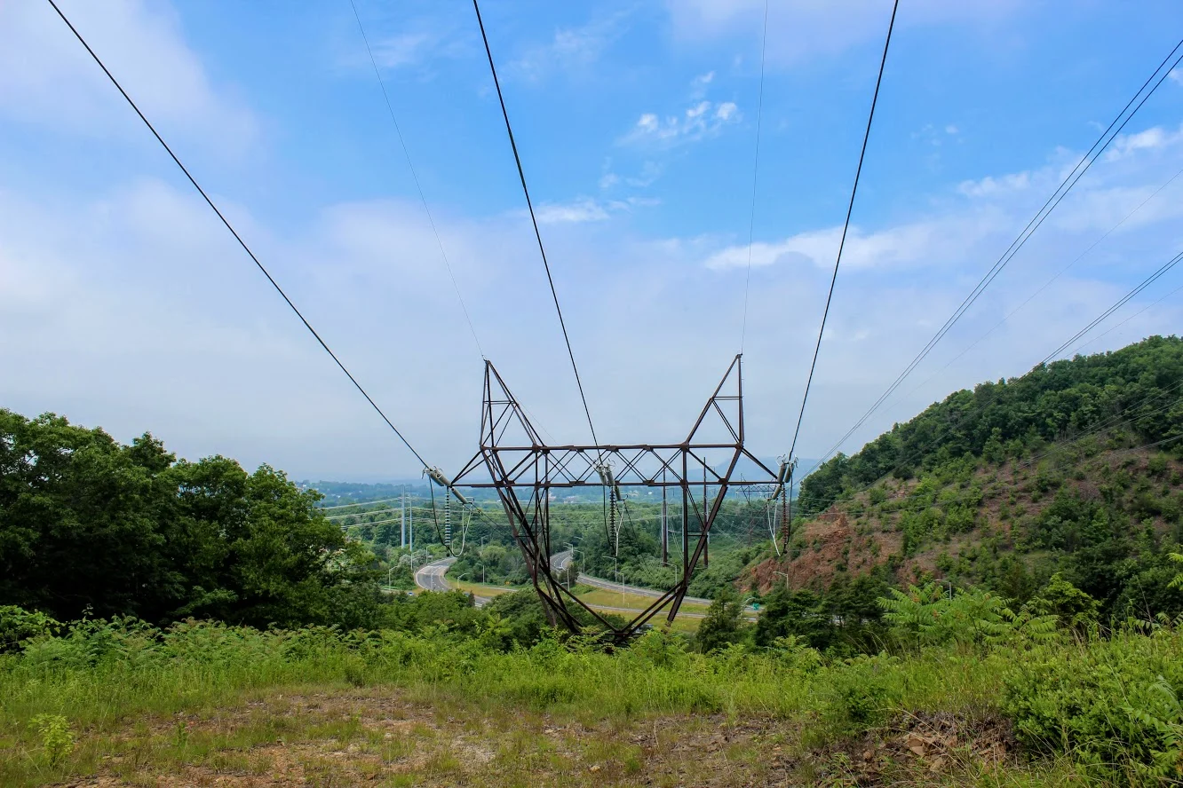
About three-quarters of a mile into the hike, we came out to an open field that led us under power lines. We could see Route 66 highway from here, as the trail runs parallel to the highway. We then passed a brick and stone chimney along the way.
From here, the trail will begin to ascend up the mountain.

Until I was researching the area, I wasn’t aware this was called Besek Mountain. And, there is a ski area next to it, Powder Ridge. Once you reach the cliffs, you see the stunning view of Black Pond and Mount Higby in the distance as well. You can continue the trail from here and follow the blue-blazed trail further past the ski area chair lifts and the true summit of Besek Mountain. And you can go all the way to Guilford. However, this is where we stopped and turned around. We had our fun taking pics and checking out the view.


The loop was roughly 2.8 miles. The hike was moderate difficulty. The terrain was easy in the beginning but had some up and down sections. The hardest part may be finding the trail. This is a great morning weekend type hike with a rewarding view. Be sure to add this to your list, especially if you are local.

The Review
Black Pond via Mattabesett, 2.8M (Middlefield, CT) - 4 out of 5

HIKING FOR DONUTS
A blog for the outdoors foodie enthusiast
Hi, I’m Mark. I live in Connecticut. I take new trips every chance I get. A good trip has a great hike, great food, and something fun to do. My goal is to search out new trips and share them to inspire others to try something new and exciting.
If you are looking for posts in a particular place, search by city or state here.
EXPLORE OTHER POSTS IN THE ARCHIVE
RECOMMENDED POSTS


MOST RECENT POSTS


See where I have been recently on Instagram. Follow @HIKINGFORDONUTS


