Trail Description: Sunset Rock State Park offers a scenic hike around Crescent Lake that connects to the Metacomet Trail.
Trail Info:
Where: Southington, CT Distance 3.2 miles (2-2.5 hrs) Difficulty: Easy to Moderate Trail Type: Loop Features: Views, Lake, Water
How to get there:
Address to GPS: 357 Shuttle Meadow Rd, Plainville, CT 06062. Parking lot is easy to find.
Hiking Tips
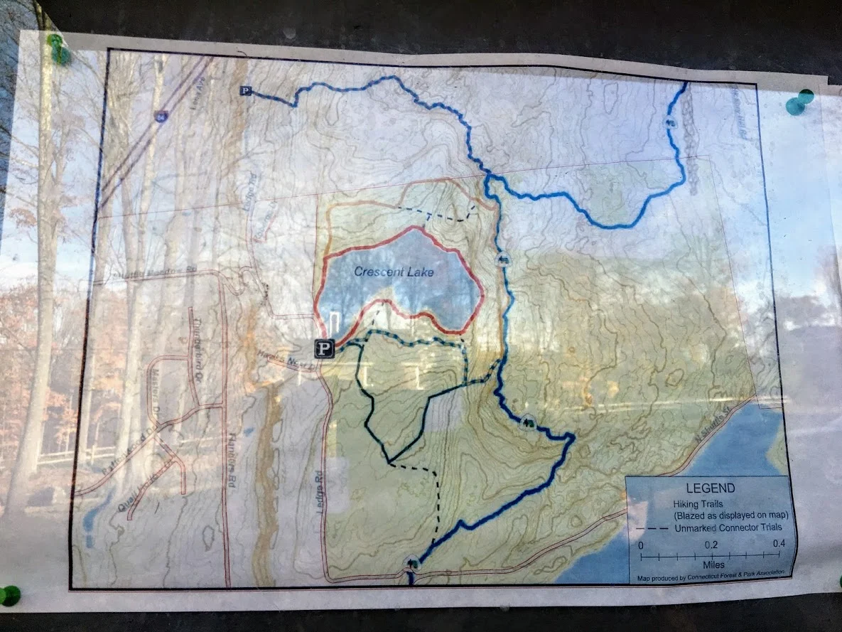
Three trails to choose from. The Blue to Orange trail takes you above the lake and is rockier and steeper. Much better views.
Be mindful if you lose the trail markings or end up on a different trail. There is a lack of trail markings. And, some confusing areas where trail markers change colors.
The Hike
On this brisk fall weekend, we decided to hike the Crescent Lake Trail in Southington, CT. This is one of those trails that there isn’t the best information online and it is poorly marked. I will do my best explaining but my advice is always have the map handy and make sure someone is good at directions!
The parking lot is easy to get to, it is off Shuttle Meadow Road. Once you park you will see the lake right in front of you and potentially some people fishing. There are 3 trails. The Red trail is the lower level trail which is mostly flat. This is to your far left from the lot. This is roughly 2m. The blue -orange trails takes you the upper levels to get good views above the lake and this is rockier and steeper. This trail is to your right from the lot. This is about 3.2m and this connects to the Red at the end once you descend down. There is also a green trail, but not sure where that takes you. It appeared to be just a woodsy hike.
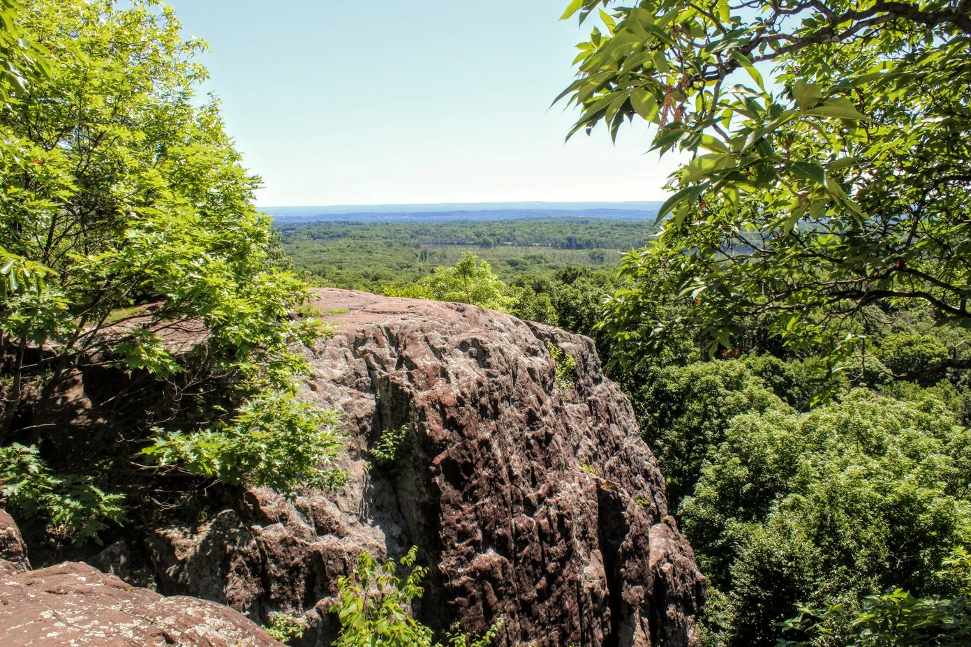
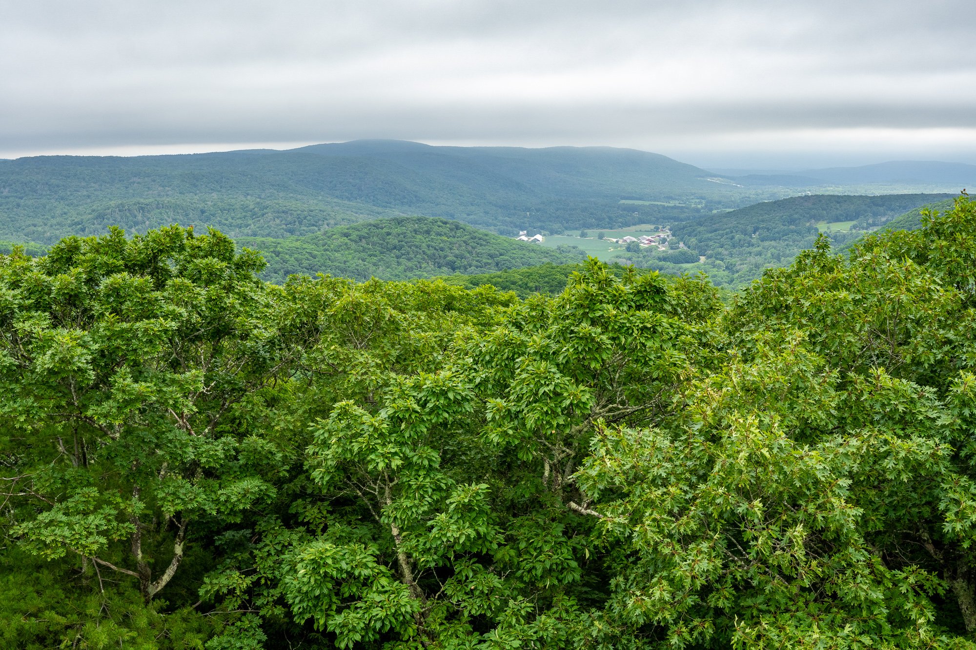
We got lost a few times but Nichole is really good with reading trail maps. The issue is lack of markings/incorrect markings. And, the Metacomet Trail connects so you have to be very careful when the colors change. We took the upper trail followed blue-orange markers until we saw just orange then to red. There we were some tough sections where you could choose 3 directions but there are big orange arrows on trees along the way so be mindful of those. There is also an intersection where you see trail arrows for the Metacomet at the top, keep going toward the blue orange and you will pass a camp fire pit. Minus the confusion, it was a cool hike and the view was awesome from the top. I could of took pictures for an hour….luckily, Nichole stopped me. The upper trail I would suggest hiking boots. It was a moderate hike for beginner to intermediate. Some of the inclines got our hearts beating and needing some water. I think this would be a good spot to snowshoe. I hope to keep the fall hikes going. Another local spot in the books, glad we decided to try it even though the reviews were suspect.
Review:
Cresent Lake Trail, 3.2m (Southington, CT): 4 out of 5
HIKING FOR DONUTS
A blog for the outdoors foodie enthusiast
Hi, I’m Mark. I live in Connecticut. I take new trips every chance I get. A good trip has a great hike, great food, and something fun to do. My goal is to search out new trips and share them to inspire others to try something new and exciting.
If you are looking for posts in a particular place, search by city or state here.
EXPLORE OTHER POSTS IN THE ARCHIVE
RECOMMENDED POSTS
MOST RECENT POSTS
See where I have been recently on Instagram. Follow @HIKINGFORDONUTS


