


Storm King Mountain, New York
Storm King Mountain State Park Trail Guide (Cornwall-On-Hudson, NY)
If you are looking for a great hike with awesome views in the Hudson Valley, Storm King Mountain is one of the best hikes in the area. The trail will get your heart pumping but you will be amazed at the summit view from the top.
Trail Description: Storm King Mountain offers one of best views in the Hudson Valley. The hike includes an initial steep hike to the top of Butter Hill, but the gratifying views at the top are worth the effort.
Trail Info:
Where: Storm King Mountain, Cornwall, NY Distance: 2.7 miles (2.5-3 hours) Difficulty: Moderate to Difficult Trail Type: Loop Features: Ruins, Mountains, Views, River, Views, Bridge
How to get there:
Heading south on Rt 9W from Newburgh, cross under the overpass for Angola Road. You will begin climbing a hill (in your car!) and on your left you will the parking lot for the Storm King Mountain. However, you can’t make a left here because it is an illegal turn. Continue driving a few miles until reaching the exit at Rt 218/Rt 293. Get back on Rt 9W and circle back to the parking lot. If you type in this address: 1750 US Rte 9W, Cornwall=on-Hudson, NY 12518, this should sufficient enough for the GPS.
Hiking Tips
Get there early for a less crowded trail.
Start on the orange trail in the beginning (not the white trail).
Pay close attention to when markers change colors
Bring hiking poles
THE HIKE
During the summer, I made a list of hikes I wanted to accomplish by the end of the year. Somehow, some way I was going to make them happen. I wanted to end the year hiking awesome and challenging trails. Storm King Mountain was high on my list. I came across this hike first on Instagram, of course. The pictures looked stunning. Since I do frequently travel to the Hudson Valley area, all I had to do was make the time. The hike does look intimidating but it wasn’t that bad. I would have liked better weather on this day, as it was a tad cloudy with overcast. But, the hike was really fun and awesome views nonetheless.
View from the parking lot.
This hike is really popular. Get there earlier or try a weekday if you can. There were already a lot of cars and a shuttle bus of tourists by 930am. After we got our gear ready, the trailhead was to our left facing the woods. We saw the white trail on our right. I read hopping on the orange trail was the way to go. And, that was 100% accurate. It is more difficult in the beginning but I rather have fresher legs climbing up. The orange trail starts off steep right away. I found this part super fun. It was strictly a steep incline climbing up. The rocky path was taking us up to Butter Hill. Looking back, we witnessed some cool views of the highway as it started to disappear.


First of many views on the hike.
Model climber.
Once all the climbing was done, we reached some small ruins. Keeping the orange markers in our sights, we continued up toward Butter Hill. A little more views started to appear. There is an important decision to be made on the trail. The Orange Trail abruptly ends as the blue Yellow Trail markings appear (you will see blue marking first) . Turning right at this junction, lead us on the correct path. I have read this is a point in the hike where people take a left and get lost. One more time, turn RIGHT when the Orange Trails ends or your day hiking will be regretful.
Ruins.
highway overlook.
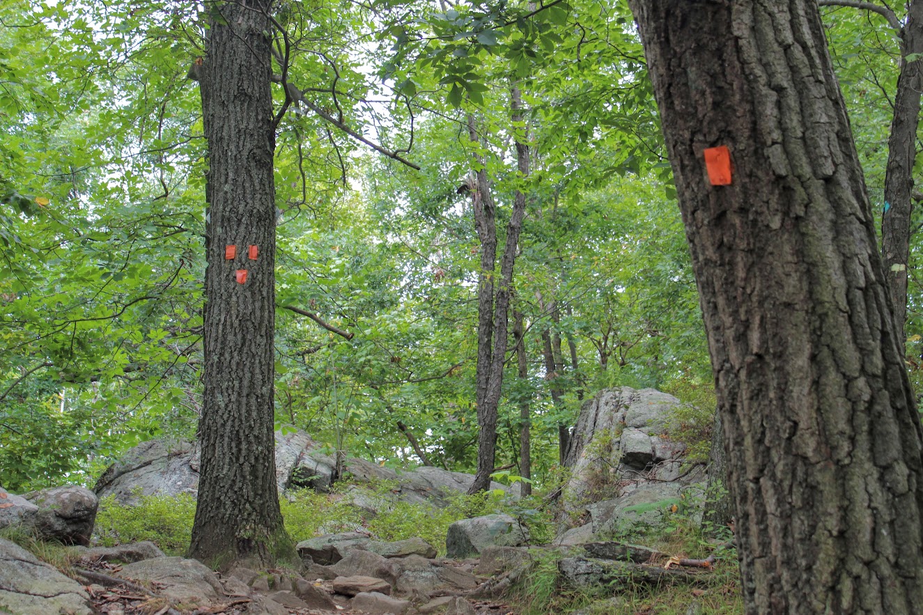
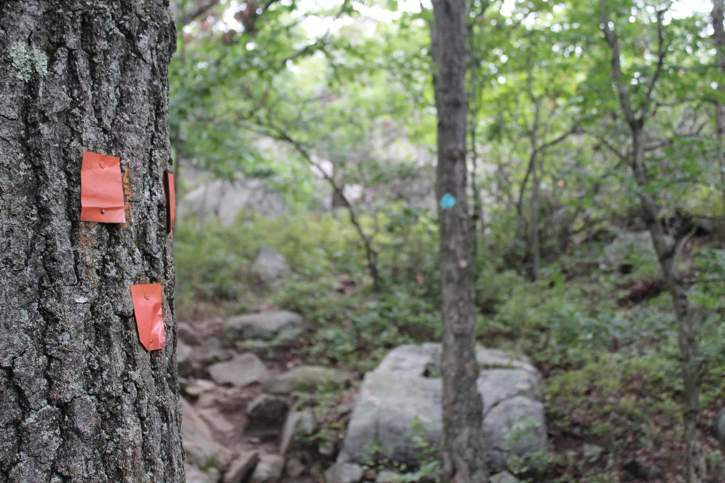
We reached Butter Hill in about a half an hour from the start of the hike. This is the highest point of the hike at 1,375 feet. Continuing forward there still was some uphill stretches as the blue/yellow trail moseys across the mountain. There are intersections where the blue/red marked trail is on your left. However, you want to turn right on the blue/yellow trail you will see a small cairn. It is easy to get off track with all the intersecting trails. You will see a blue-blazed, don’t fall for it. Just stick to blue/yellow trails at this point.
Continuing around the mountain….
turn right toward the yellow blue trail.
From here, the hike took us to the northern end of Storm King Mountain. Not quite the money shot view. Just a little tease of what it is next .
almost there.
A little bit past this spot, we reached a rocky field in the open and BOOM. Stunning landscape. There are wide views of Newburgh Bay, Bannerman’s Castle, and the Newburgh-Beacon Bridge. On a clear day, the Catskills are visible. We could see some sail boats in the Hudson River as well. A very cool summit view.
newburgh bay.
this is why you hike this trail.
After taking an excessive amount of pictures, we hopped back on the blue/yellow trail. Going down, we noticed some more cool overlooks on our left looking at the town of Cold Spring and getting a smaller glimpse of the summit view. I recommend taking a look. Shortly after the awesome view, the White Trail markers will appear. Taking a sharp left around the mountain with a U-turn, we started on the White Trail. And soon after, the trail will be blazed with blue and white markers. BUT, then the blue markers will fade and this goes back to only white markers. And now, the white markers will take you back to the parking lot. There is one last steep uphill climb before the parking lot to give you a nice good-bye and keep your heart pumping.
Views of cold spring as you hike down.


That's what I call a bang for your buck hike. The hike was very challenging, the hike wasn't too long, and there a multiple magnificent views for photo opportunities. And, I had a blast hiking it. The trail route we took was about 2.7 miles and took us under 3 hrs, including probably 30 mins of me taking pics. There are some very steep inclines but nothing your average hiker can't overcome. As long as you start the hard way first, the hike ain't so bad. This is one of the best hikes in the Hudson Valley hands down. I am happy to check this off the list, but now I want to go back!
Amazing.

HIKING FOR DONUTS
A blog for the outdoors foodie enthusiast
Hi, I’m Mark. I live in Connecticut. I take new trips every chance I get. A good trip has a great hike, great food, and something fun to do. My goal is to search out new trips and share them to inspire others to try something new and exciting.
If you are looking for posts in a particular place, search by city or state here.
EXPLORE OTHER POSTS IN THE ARCHIVE
Archive
RECOMMENDED POSTS


MOST RECENT POSTS


See where I have been recently on Instagram. Follow @HIKINGFORDONUTS


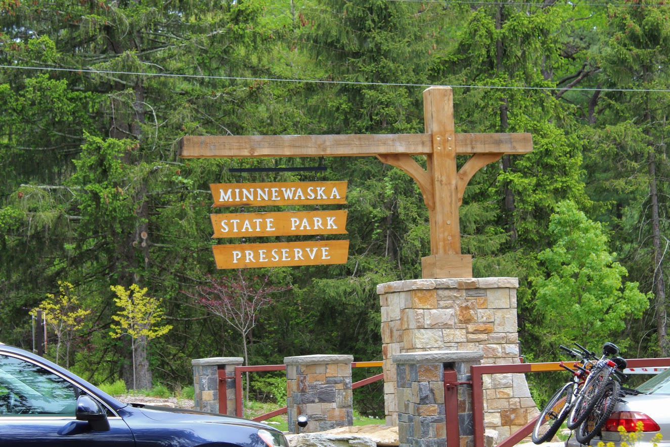
Minnewaska State Park Reserve
Minnewaska State Park Reserve Trail Guide (Kerhonkson, NY)
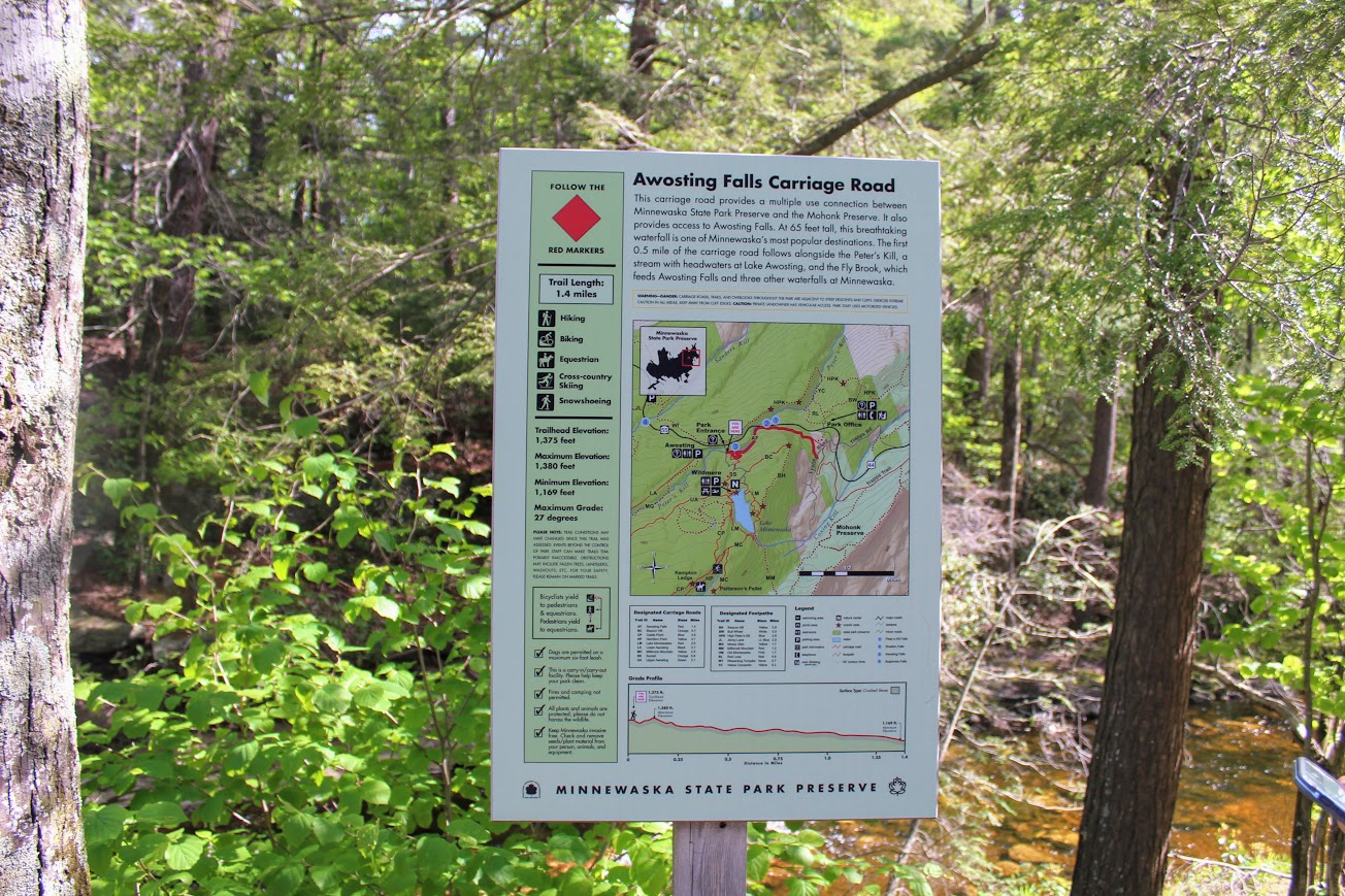
Minnewaska State Park Reserve is located in Kerhonkson, NY on the Shawangunk Ridge. The park is full of numerous awesome hiking trails to spend hours exploring. This post will cover Awosting Falls, Lake Minnewaska, and Kempton Ledge. Great picturesque views through out the hiking trails. A great visit visit to Minnewaska State Park reserve. Hiking for Donuts approved.
Trail Description: Minnewaska State Park Preserve is situated on the Shawangunk Mountain ridge. This park offers a variety of intersecting hiking trails that offer magnificent views. A great day hike consists of capturing Awosting Falls to cliff views off Kempton Ledge and back around Lake Minnewaska. This will offer best landscapes of the park.
Trail Info:
Where: Minnewaska State Park Reserve, Kerhonkson, NY Distance: 5.5 miles (4 hours) Difficulty: Moderate Trail Type: Loop Features: Views, Waterfall, Mountains, Lake, Cliffs, Views
How to get there:
The park is easy to find and it’s a cool drive. The address for the GPS is:
5281 Route 44-55, Kerhonkson, NY 12446
Once entering the park, you will pay the $10 parking fee at the guard shack. For this hike, pull straight ahead into the Awosting Falls parking lot.
Hiking Tips:
Get there early for a less crowded trail. It can be chaos.
There are no signs for the Kempton Ledge but there will be a big opening off the cliff ledge with a big open view. If you keep your eyes out, you won’t pass it.
The trails are well marked but there are areas that are not as obvious. Having a map will be handy.
The Hike
Finally getting around to some hikes I did in the summer! I have seen amazing pictures online of Lake Minnewaska. My girlfriend has told me memories of her hiking in this park and how much there is to offer. On this past Memorial Day Weekend, we decided to head to Minnewaska State Park Reserve in Kerhonkson, NY located on the Shawangunk Ridge. The park is full of many trails and provides some spectacular views of Lake Minnewaska and overlooks the Catskill Mountains. You can spend hours exploring or just come for a quick hike. The one downfall I was warned about it how unbelievably crowded this park can be. And, that was definitely the case. There are many parking lots in walking distance to pretty nice views and picnic table areas hence there will be lots of families. And, the trails are not that difficult. They are mostly carriage roads and can be flat. As one blog I read on this hike stated, you will find more peace and quiet at Walmart. However, the exploring of this park is completely worth it and there are many trails that are less trafficked.

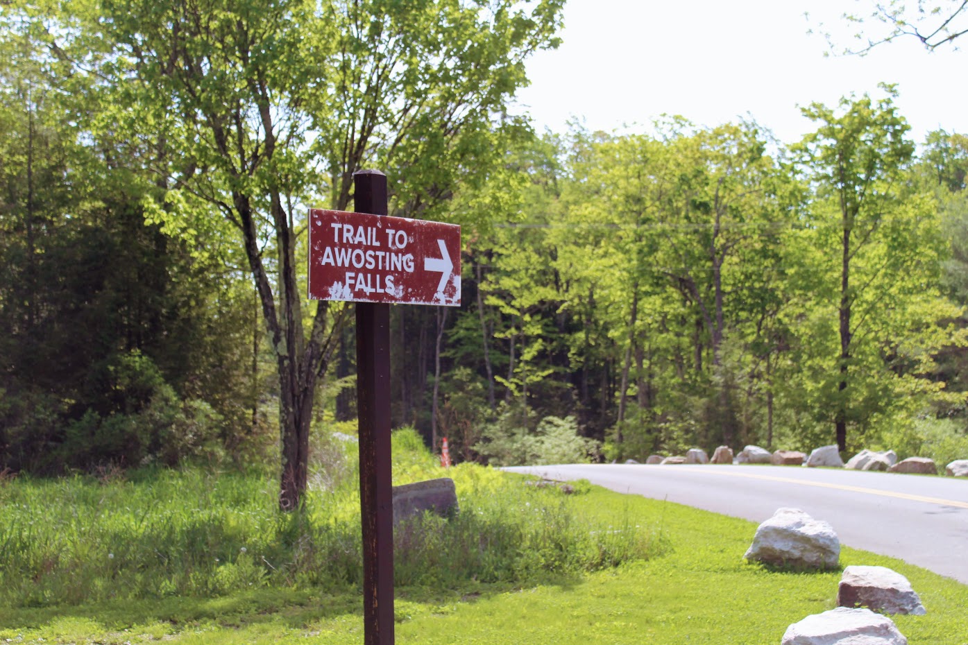
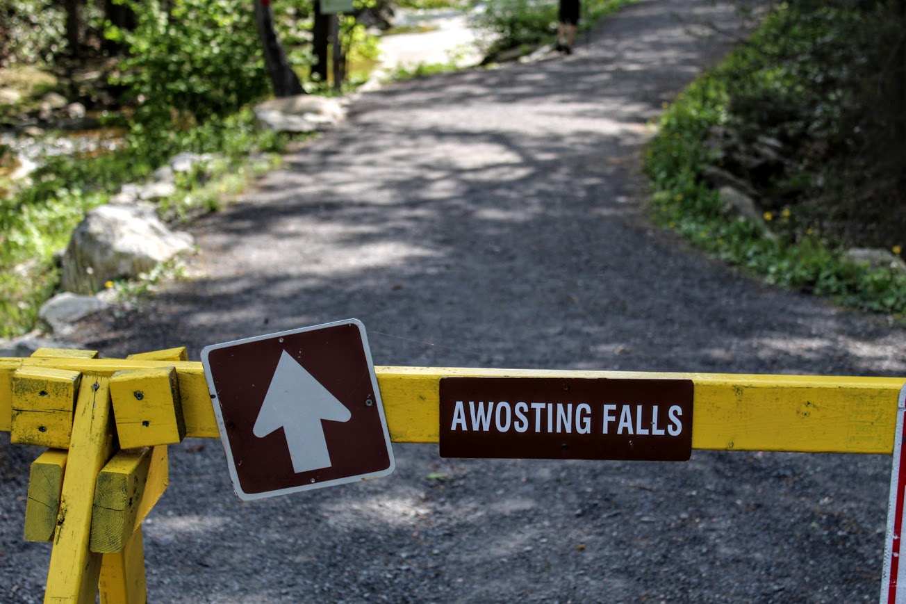
Given the knowledge of the potential crowds, we started our drive toward Minnewaska early and got there as the park opened at 9am. Note, parking will cost $10 inside the park. Not bad in my opinion. Once you enter the park, you will pay at the guard shack. There are many lots to park. Since there weren’t many people there yet, we pulled straight ahead into the Awosting Falls parking lot. The busier it gets, the further you will have to park from the guard shack. Our agenda for this day was to check out Awosting Falls, Kempton Ledge, and finish with trail around Lake Minnewaska. Once parked, we followed the signs to the Awosting Falls Trail.
About a half mile from the parking lot, we found ourselves descending 60 feet into a wide open view of the falls. This is actually a decent size waterfall and there are multiple different viewpoints. You can climb the rocks up on the side of it and get close like I did. Meanwhile, Nichole got stuck videoing an engagement proposal. She was like did you see that? Not a chance, there was a waterfall in front of me!
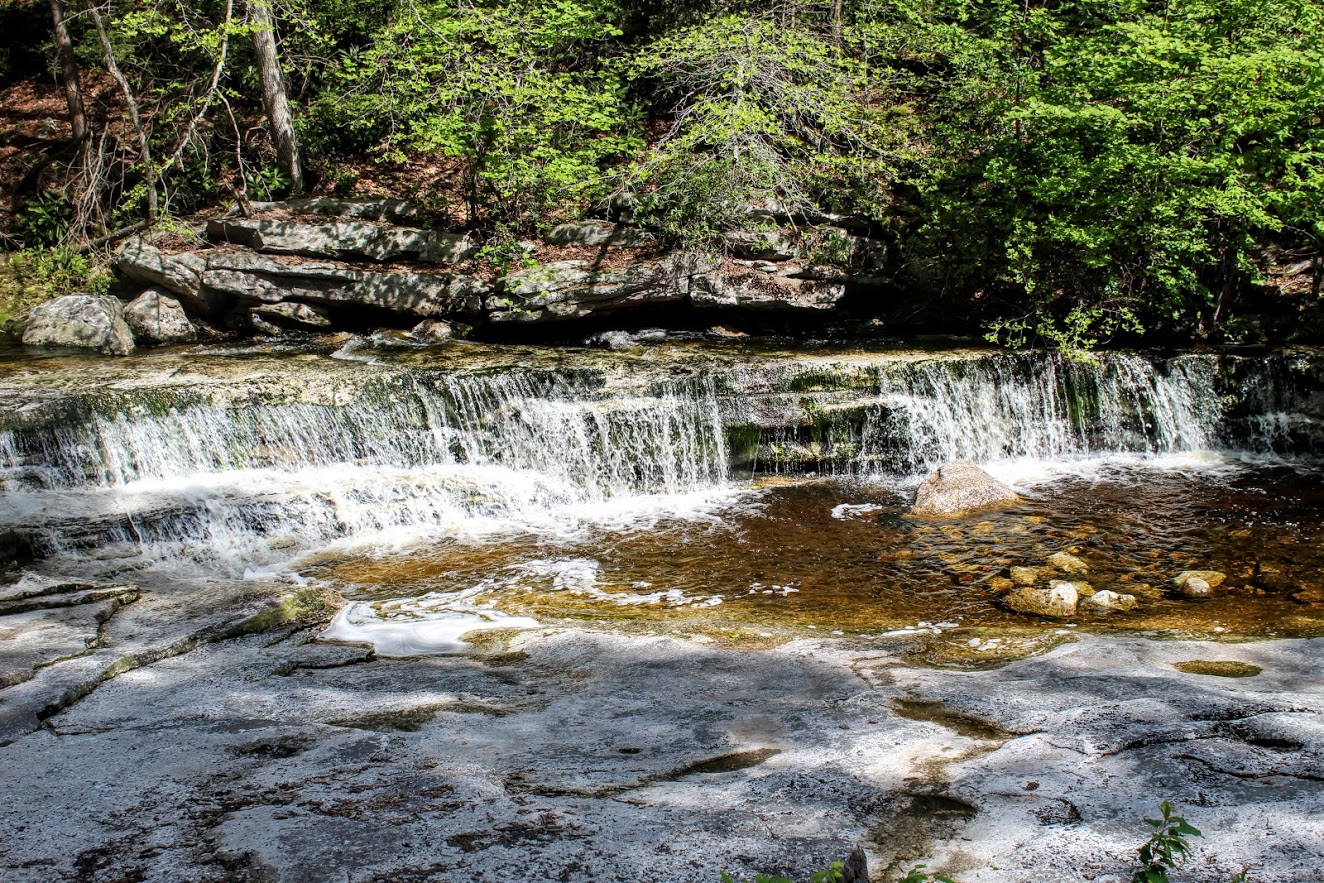


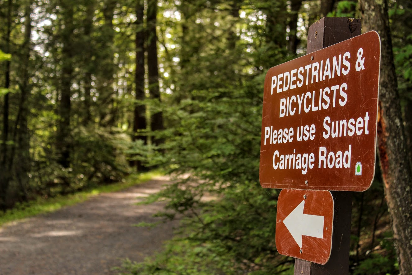
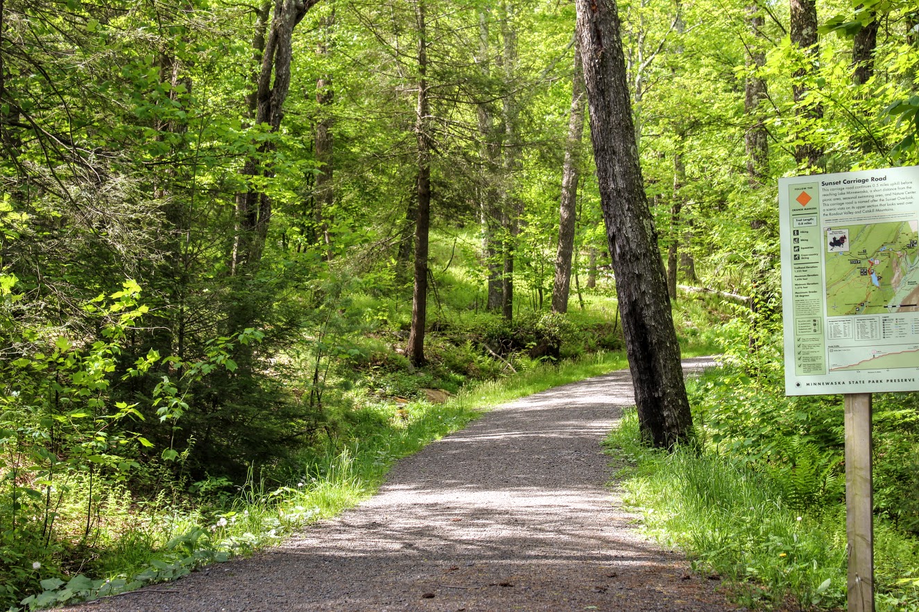
At this time, there was no one really at the falls so I took advantage of it. After taking a half hour of pics, Nichole was ready to get this hike moving along. We headed back the same way we came. We found the orange blazed Sunset Carriageway on our left as we approached the road. We started taking the trail up the switchbacks. As we got closer to Lake Minnewaska, we noticed the parking lot to our left. This is where you would park if you didn’t want to hike the fun way. We kept on the trail and started following the red blazed trail labeled “Minnewaska Lake Loop.” There is a pretty awesome lookout right away of the lake and the cliffs.

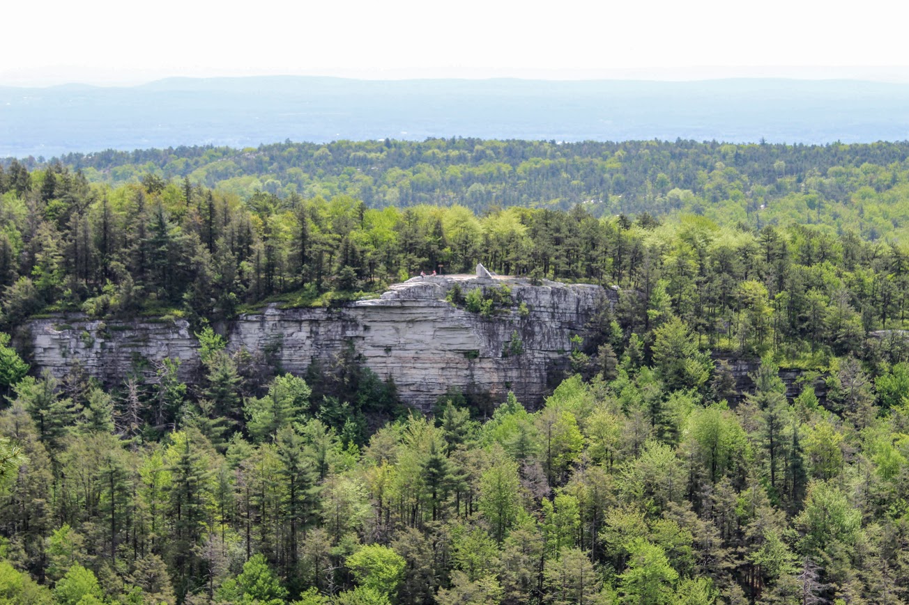
Continuing on the red trail, we passed the swimming beach that gave another gorgeous view of the lake. After that, we came up to the bathroom facility. Then we noticed the sign for the blue blazed Castle Point Carriageway on our right. That is what we needed to get to Kempton Ledge. After about 30 minutes, you will arrive at Kempton Ledge. There is no sign for it but once you see the ledge, you will know. There is an amazing view.


We headed back the way we came and took the first right you can to the Hamilton Carriage Road (will see sign). We kept going straight ignoring the merging trails. Eventually, this road led us back onto the red blazed Lake Minnewaska Loop and right down to the edge of the water. Here you will get great views across the lake. This is where you find all those who parked at the top. This can be a crowded section on a busy day.


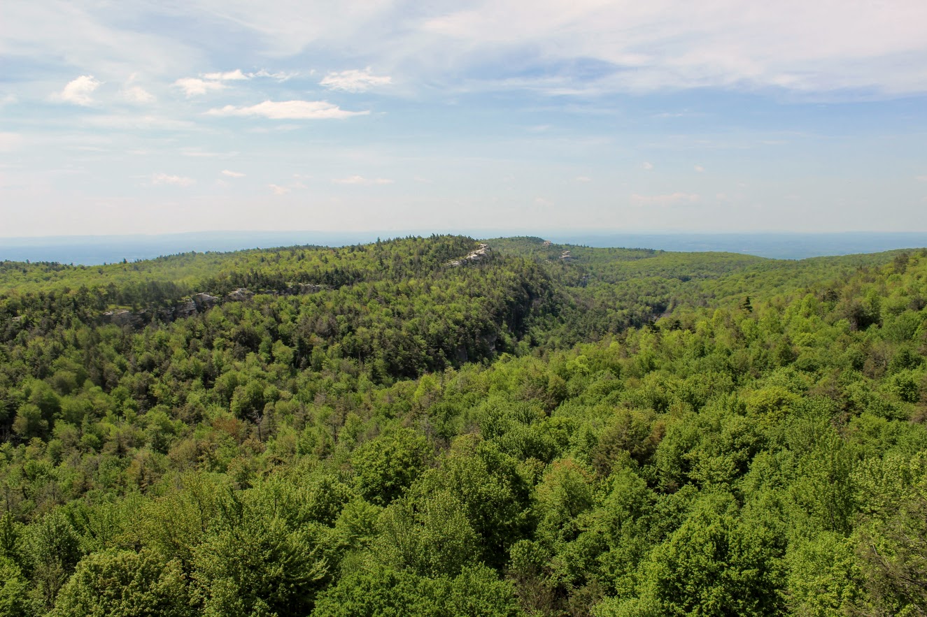
The red trail continues and becomes a little steeper. We noticed a viewpoint to our right that will display the Skytop Tower at Mohonk Mountain House. The skies weren’t as clear as we hoped this day but still a great view. After this, we kept climbing at the fork toward the white cliffs.

There was a wide open picnic area as we approached the top. We walked across the grass toward the cliffs and views of the lake. We decided to take a quick lunch as the views were beautiful. And, there was some solitude at this particular time.


After absorbing the views, we headed back around the lake staying as close to the lake as we could. The trails become less marked around this area. Looking for more red markings, we passed some private property and porto-potties. Taking the middle road to the left of the porto-potties, we walked by an open field of many picnic tables and families. This path gave us one last look of Lake Minnewaska before we reached the parking lot again. The orange trial (Sunset Carriageway) was on our right and we took that the same way we came up down the hill back out to the road. Following the signs to Awosting Falls parking lot, we made our way back to the car.


I had a blast on this hike. Minnewaska State Park Reserve has so much to offer. You can choose your trail and go as far as you like. There are so many awesome views to see. Yes, it can be crowded but I would just plan accordingly. I suggest going early because we didn’t hit the crowds much. And, you will know which trails will have more traffic, closer to the lake and the waterfall. The hiking paths are really wide and flat. Our hike on this day was just around 5.5 miles. This took us about 4 hours but I also was a photo whore so you can knock off 30-45 min from that. I would say it was easy to moderate only because of the mileage. I look forward to coming back to this park. Afterwards, we drove into the downtown area of New Paltz, NY that was about 10 minutes away from the park. And there were cool shops, restaurants, donuts, and a brewery. That is what I’m talking about! Hopefully I will be exploring more of what the Hudson Valley has to offer.


HIKING FOR DONUTS
A blog for the outdoors foodie enthusiast
Hi, I’m Mark. I live in Connecticut. I take new trips every chance I get. A good trip has a great hike, great food, and something fun to do. My goal is to search out new trips and share them to inspire others to try something new and exciting.
If you are looking for posts in a particular place, search by city or state here.
EXPLORE OTHER POSTS IN THE ARCHIVE
Archive
RECOMMENDED POSTS
MOST RECENT POSTS
See where I have been recently on Instagram. Follow @HIKINGFORDONUTS

Dennings Point, Long Dock Park, Beacon, NY
Lock Dock Park Beacon, New York: Klara Sauer Trail to Dennings Point Trail
Trail Description: The Klara Sauer Trail is a flat walk until you meet up with the Dennings Point Trail along the shoreline. There are short access trails for views of the Hudson River and a beach with mountainous lookouts, where kayakers will often stop by onshore.
Trail Info:
Where: Long Dock Park, Beacon, NY Distance: 2.8 miles (1.5-2 hrs) Difficulty: Easy Trail Type: Out and Back Features: Bridge, Water, Mountains, Beach, River
How to get there:
GPS this address below. Easy to find.
23 Long Dock Rd Beacon, NY 12508
Hiking Tips:
At the time of my hike, storm damage caused trees to block the trail paths. If this is the case, turn around and go back the same way.
Make sure to stop at all access trails for additional views. Including the beach!
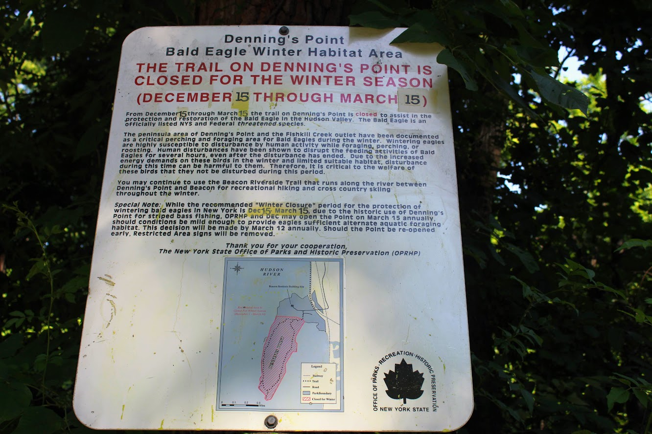
Denning’s Point Trail is closed December 15th to March 18th.
The Hike
Sometimes it is good to go for a nice leisurely walk, with an awesome view. The Hudson Valley is full of satisfying and challenging hiking trails with beautiful views. I am learning more and more about the area. There is a lot to offer if you are looking for outdoor activities. Short on time and looking for something easy, my girlfriend introduced me to a very cool spot located in Beacon, NY, called Long Dock Park.
path from the parking lot to the pier.
Upon arriving, I could see the fantastic view of the Hudson River as we parked. There is a good amount of parking but I can see this area being very busy. As we walked toward the pier, you will see trail maps within the park. Many people we saw were jogging, bike riding, and walking their dogs on the trails. You can also rent a kayak or paddleboard for the day. We walked out to the dock which is to the right of the parking lot. There are stools and fishing rod holders. A few fishermen were out bright and early on this day. From the dock, you get a fantastic view of the town across the river, including the bridge Beacon to Newburgh. This would be a good location to see the sunrise or sunset. The park has a very relaxing atmosphere.

Newburgh bridge from beacon.

View from the pier across the river.
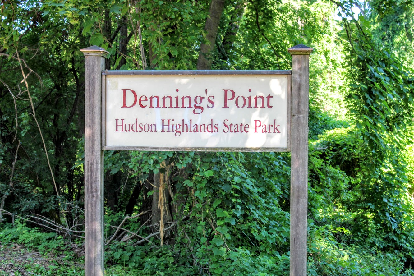
Long Dock Park is connected to the Hudson Highlands State Park by a train track turned trail. Dennings Point is the northernmost area of the Hudson Highlands State Park, and is a peninsula that extends out in the Hudson River. That was our goal destination of the day. After checking out the views from the dock, we started our walk on the Klara Sauer Trail. This flat and easy trail will lead along the shoreline of Dennings Point. There are access trails to venture and see better views of the river along the way. Some lookouts were muddy so I am glad I had my hiking boots on.
Views from some of the access point along the klara sauer trail.
Ducklings going for a swim.
Hudson river view with some mountains.
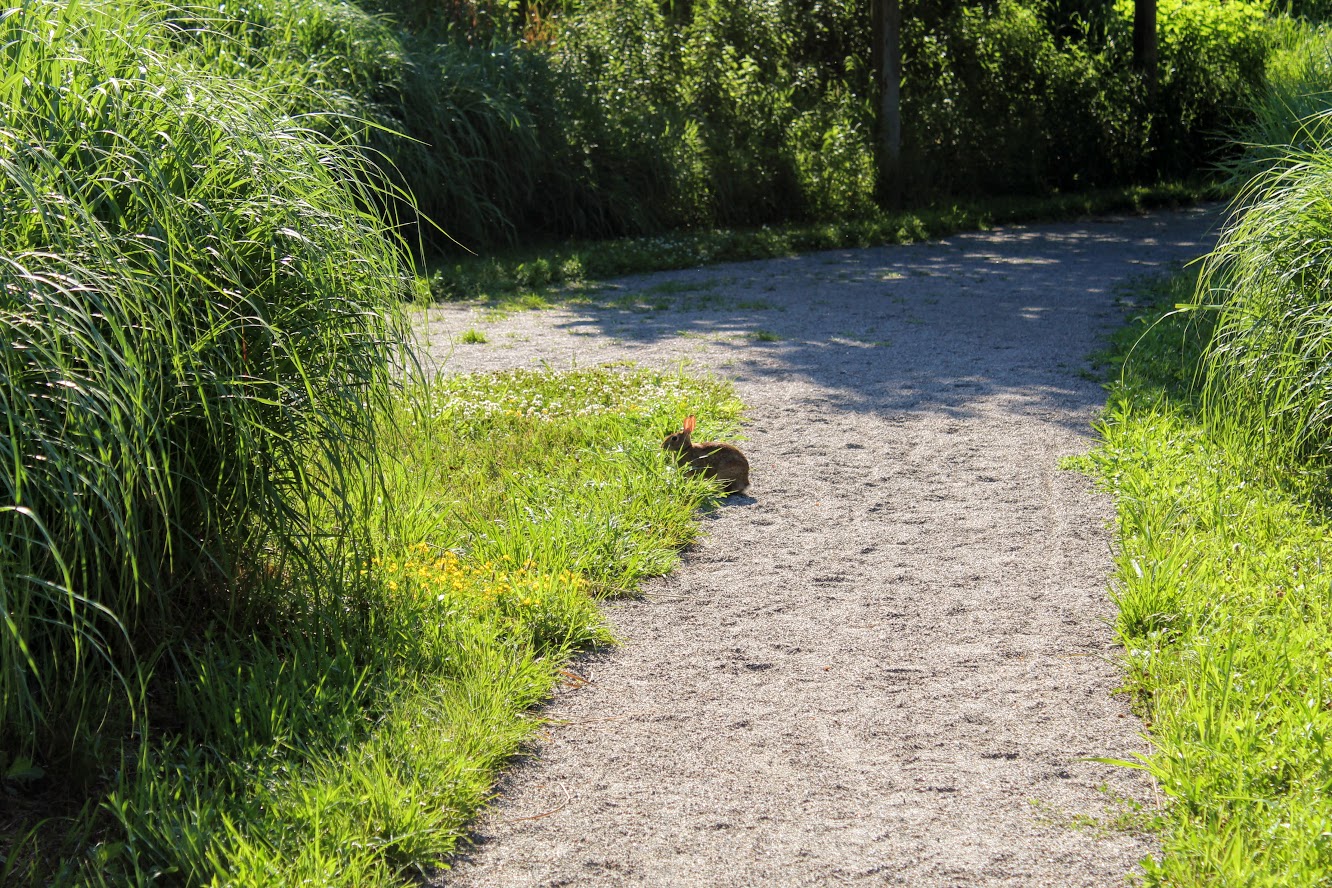
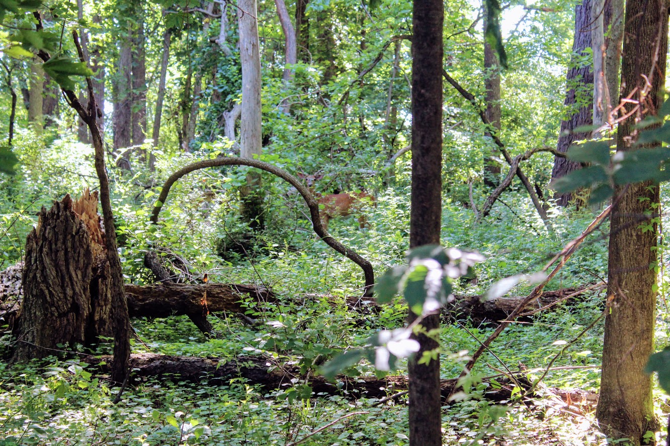
Unexpectedly, we did see more wildlife than anticipated. Peter Rabbit and Bambi made appearances.
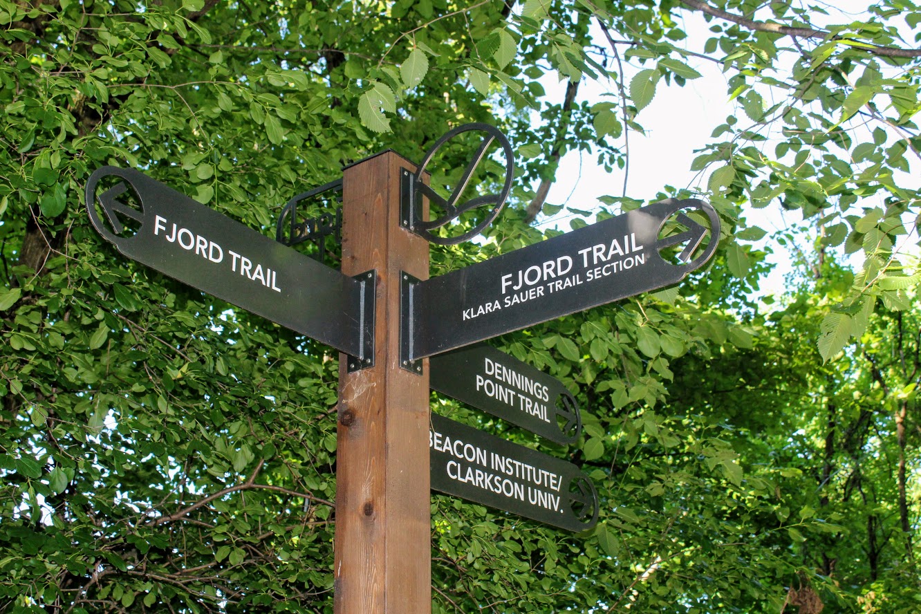
At the end of the Klara Sauer trail, we saw signs for the Dennings Point trail at the T intersection. Dennings Point trail was to our right. We did take a detour to our left on the Fjord trail to see the railroads tracks and caught a train going by under the bridge.
Railroads track if you veer on the trail to look for a train passing.
We circled back to follow the Dennings Point trail into the woods. We passed an abandoned building covered in tree branches where there was a brick factory many years ago. There will be a beach area path, where kayakers will stop for breaks, on your right. The beach front offered some impressive mountain views. Note, this trail is typically a loop but we reached an area that says to turn around due to the recent storm damage. We just turned around went back the same way.
when you run into this turn around the way you came!
views of kayakers and mOuntains.
views from the beach area of dennings point.
Great views.
This was a nice break from intense hiking. This was still great exercise. I would definitely come back. We walked about 2.8 miles and took us under 90 minutes. We got to see some great views. Long Dock Park is a great spot to kayak the Hudson River, do some fishing (may need a license), or just picnic with the friends and family.
love the views of the woods. trees down from storms on Dennings Point trail.

HIKING FOR DONUTS
A blog for the outdoors foodie enthusiast
Hi, I’m Mark. I live in Connecticut. I take new trips every chance I get. A good trip has a great hike, great food, and something fun to do. My goal is to search out new trips and share them to inspire others to try something new and exciting.
If you are looking for posts in a particular place, search by city or state here.
EXPLORE OTHER POSTS IN THE ARCHIVE
Archive
RECOMMENDED POSTS
MOST RECENT POSTS
See where I have been recently on Instagram. Follow @HIKINGFORDONUTS