

South Mountain Loop Trail in Berlin, CT: Reservoir Views and a Hidden Ridgeline
South Mountain is a hidden gem to me. I don’t see this mentioned too often online so exposing it I am conflicted. However, I also want my fellow hikers and followers to know this awesome hike resides in CT! With that said, hikers etiquette as always and leave not trace behind please. I would have never thought a hike like this existed off the side of a road. This trails begins aside Chamberlain Highway that initially feels more like a walk through the woods than a scenic mountain hike.
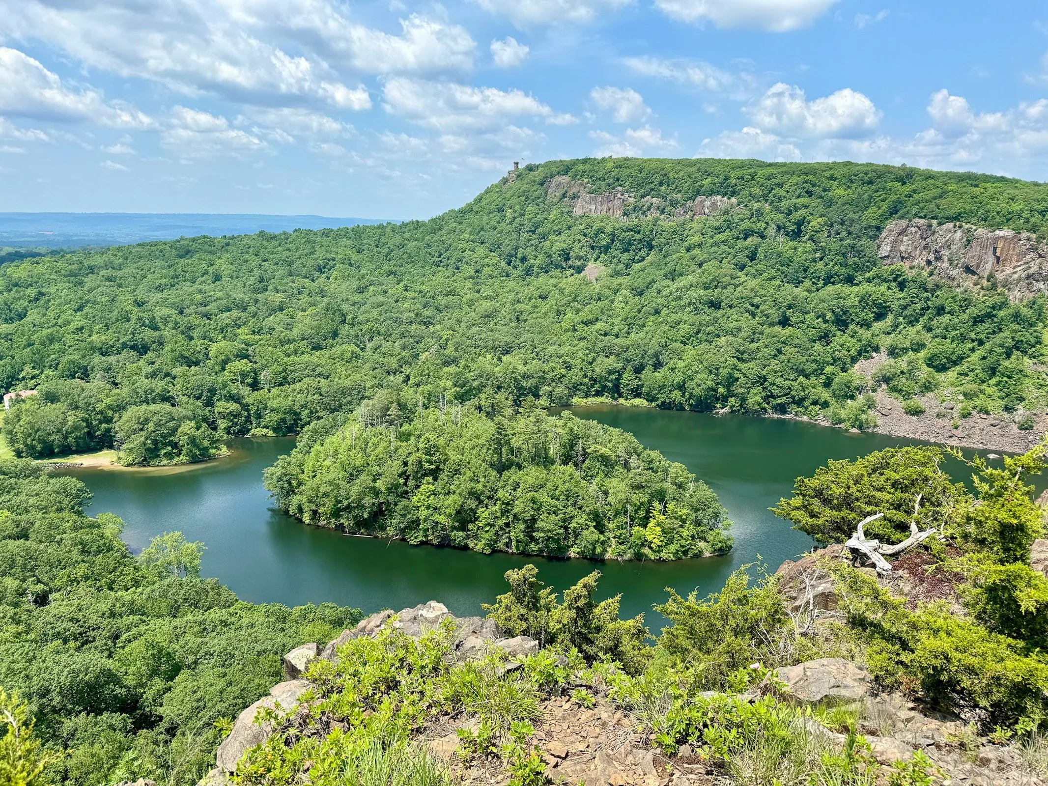
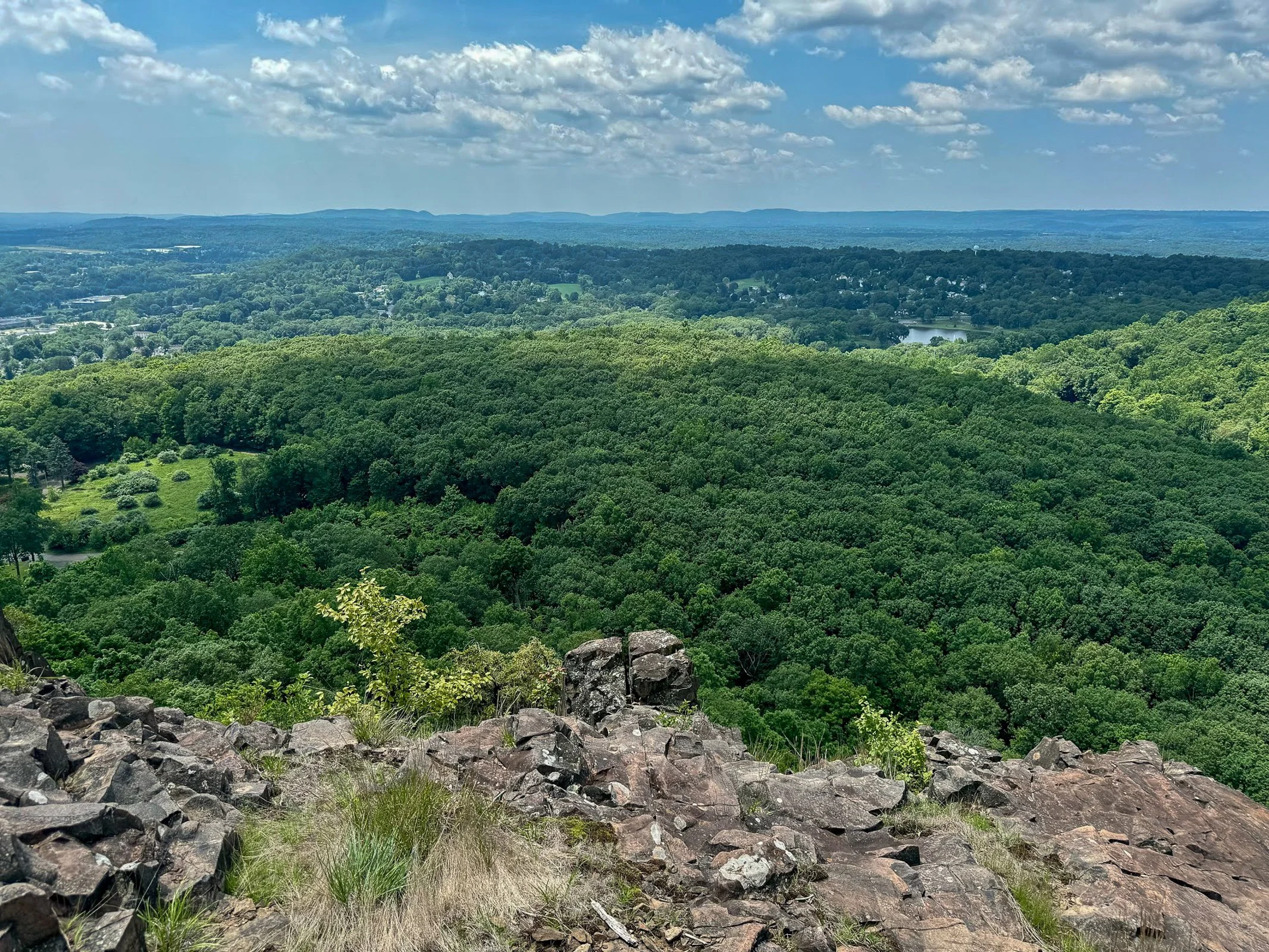
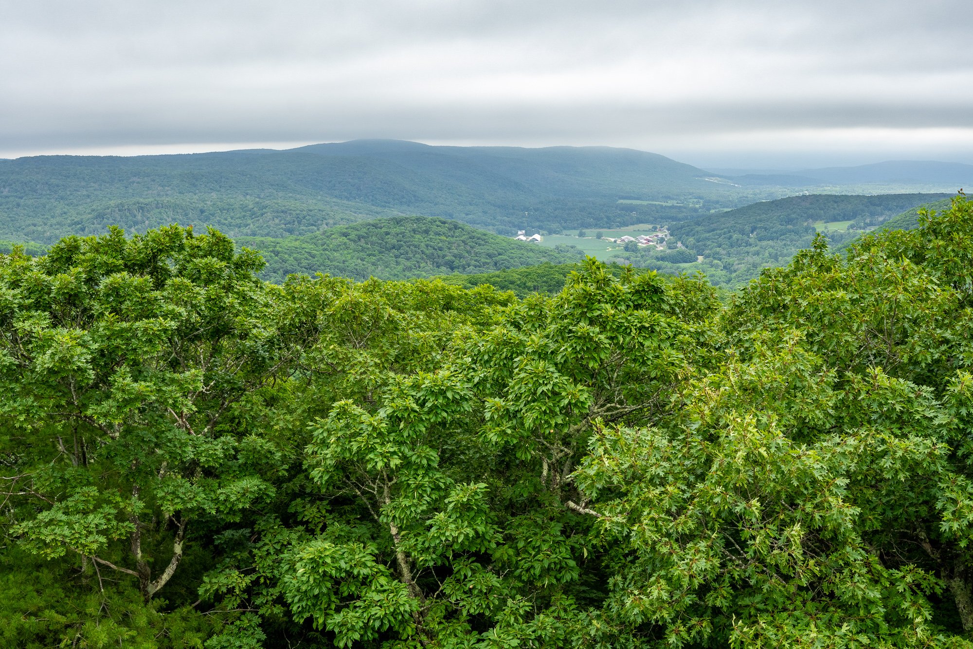
Once you reach the ridgeline, South Mountain delivers some seriously impressive views. The highlights include Merimere Reservoir, Mine Island, East Peak, Castle Craig, downtown Meriden, and the surrounding traprock hills.
This loop also feels much quieter than the more popular trails inside Hubbard Park. The parking area can be difficult to spot and parts of the route are poorly marked, but the views make the extra navigation effort worth it.
South Mountain connects with the blue-blazed Metacomet Trail, a 62-mile trail that follows Connecticut’s traprock ridges from the Hanging Hills north to the Massachusetts border. The Metacomet is also part of the larger New England National Scenic Trail.
Trail Description: The South Mountain Loop is a moderate hike that passes Elmere Reservoir before gradually climbing South Mountain. Several overlooks along the ridgeline provide views of Merimere Reservoir, Mine Island, East Peak, Castle Craig, downtown Meriden, and the commercial area near Interstate 691.
Trail Info:
Location: Berlin, CT (See link below)
Distance: Approximately 3.6 miles
Difficulty: Moderate
Trail Type: Loop
Highlights: Reservoir views, traprock cliffs, Mine Island, Castle Craig, and downtown Meriden
Dog Friendly: Yes
How to get there:
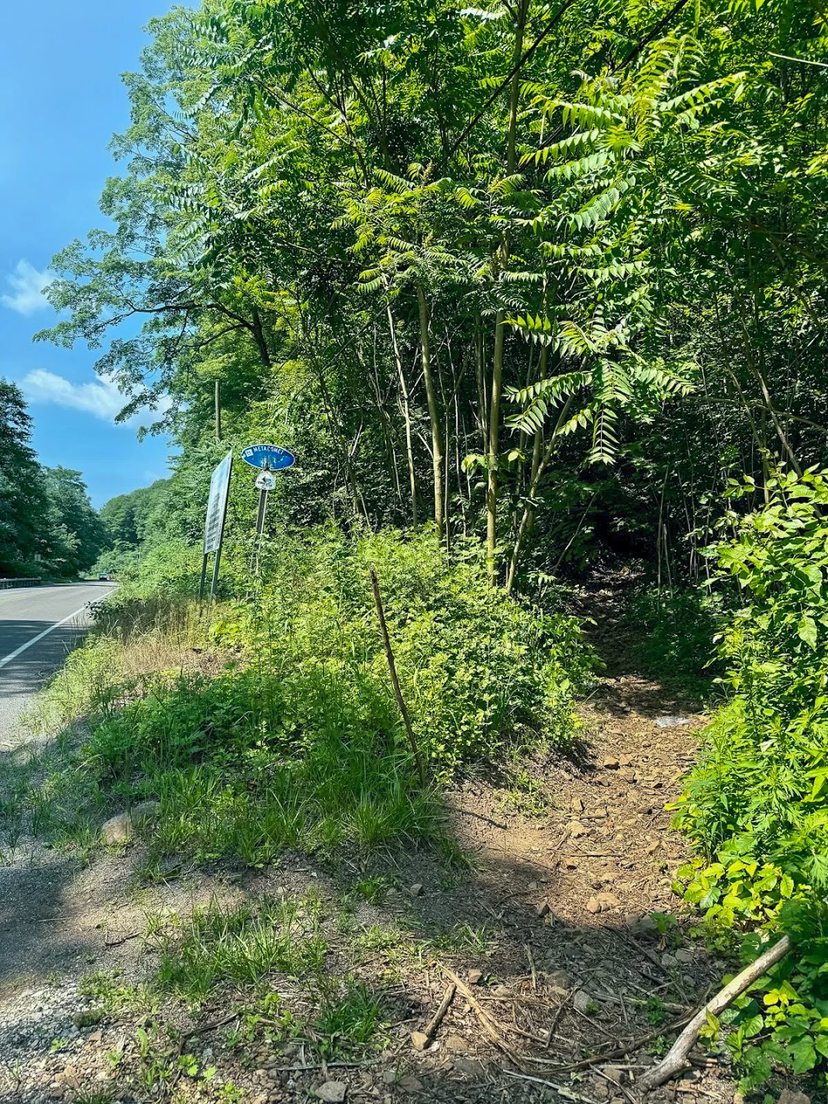
The trail begins where the blue-blazed Metacomet Trail crosses Chamberlain Highway, also known as Route 71, in Berlin.
Parking coordinates: 41.562803, -72.809665
This is not a traditional trailhead parking lot. There are only a few roadside spaces near the trail crossing, and the entrance can be easy to miss while driving along Route 71. Slow down as you approach and look for blue trail blazes on both sides of the road.
Do not block the roadway or park in the travel lane. When the closest spaces are occupied, additional roadside parking may be available a short distance south of the trail crossing.
Hiking Tips
Download park map, click here.
Parking is extremely limited, so an early start is a good idea on weekends.
Pay close attention at every major intersection. There are several unofficial or unblazed trails in the area, including routes toward Anderson Pond.
Nearby Things to Do:
Downtown Berlin for pre or post hike eats.
Donuts of course!
Post Hike Brews: Coles Roads Brewing
Panoramic Views
Parking Information
Drive slow as approaching this area as the parking area is small and can be missed.
South Mountain Trailhead
The Hike
From Chamberlain Highway, enter the woods and begin following the blue blazes of the Metacomet Trail.
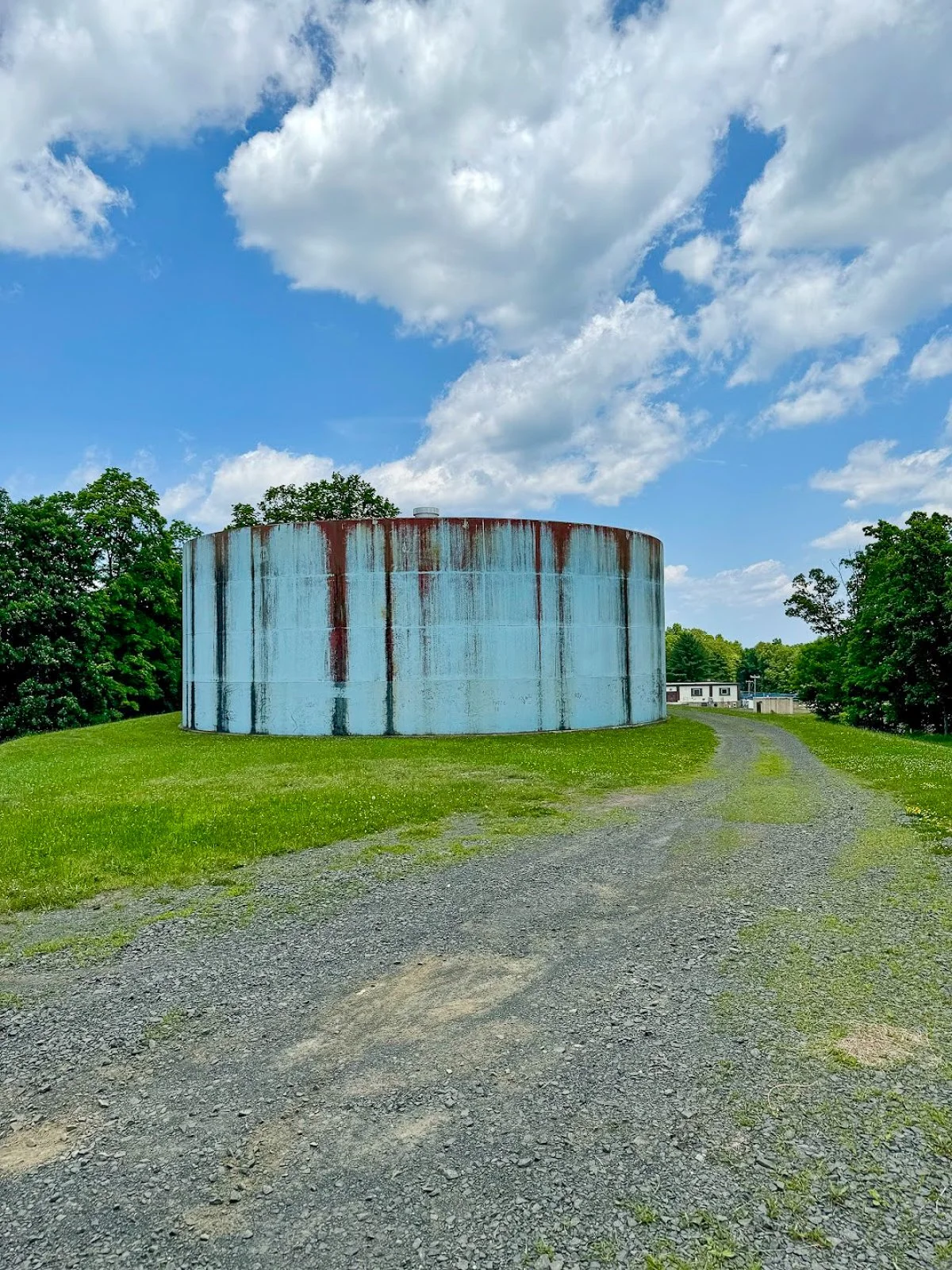
The opening section is relatively easy. You will soon pass a large water tank before arriving at Elmere Reservoir. It is not the dramatic mountain scenery you came for, but the reservoir provides a peaceful start to the hike.
Water tank at start of hike
Continue beyond the reservoir and climb a small embankment near several concrete blocks. You will reach an intersection with an unblazed woods road. One direction leads toward Anderson Pond, while the other will eventually become your return route from the South Mountain cliffs.
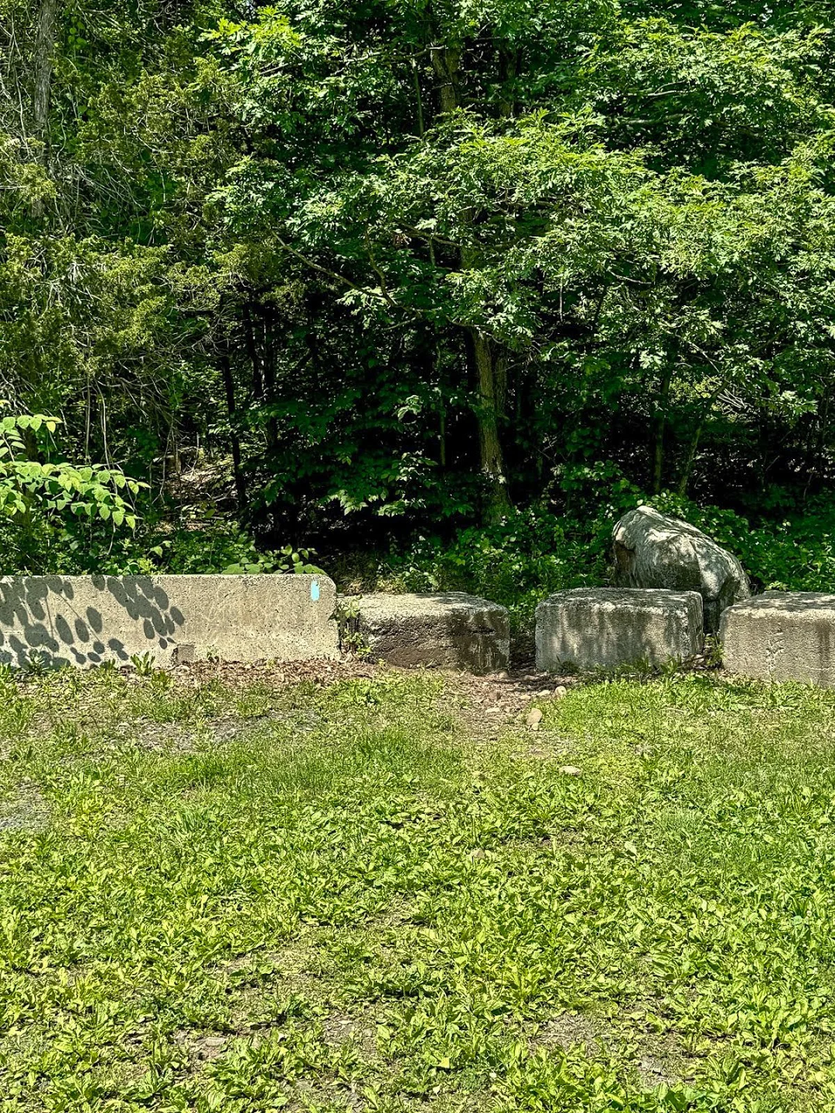
For this route, remain on the blue-blazed trail.
The trail may be rocky or wet through this section. Continue for a short distance until reaching another obvious intersection with a woods road on the left. Look carefully for faded or occasional red blazes.
Turn left here.
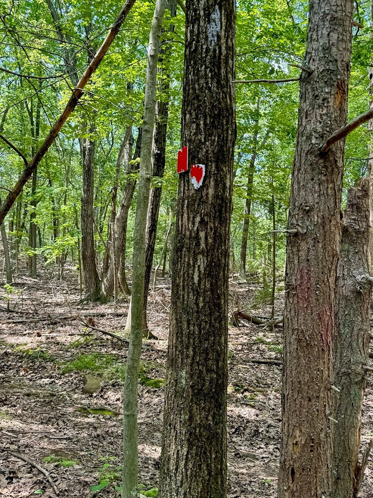
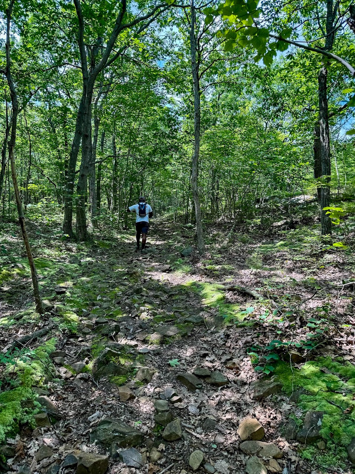
Climbing South Mountain
The red-blazed woods road begins a steady but manageable climb toward South Mountain. The incline is gradual rather than brutally steep, but it is enough to get the heart going.
The trail markings become less reliable as you gain elevation. Stay on the most established woods road and check your map whenever you reach a questionable intersection.
As you approach the top, watch for a poorly marked side trail on the right. This short path leads to one of the best viewpoints on the entire hike.
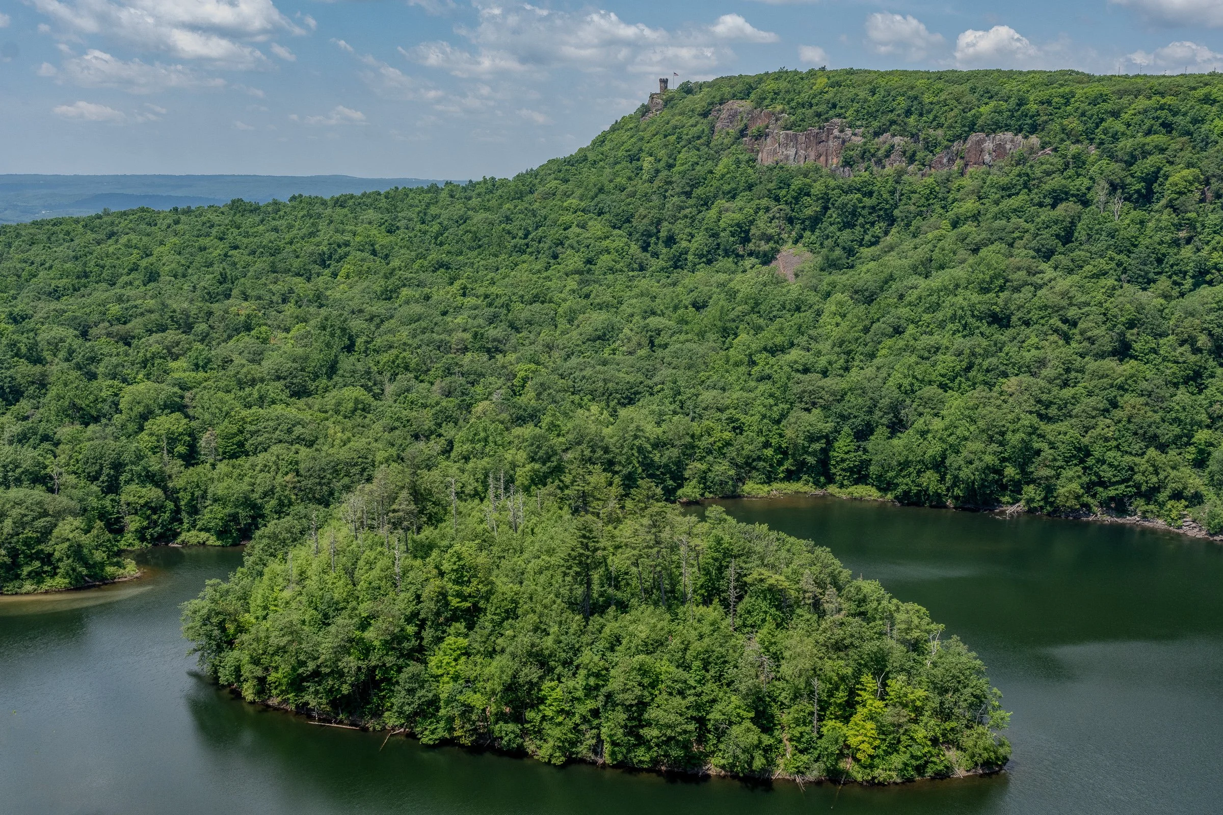
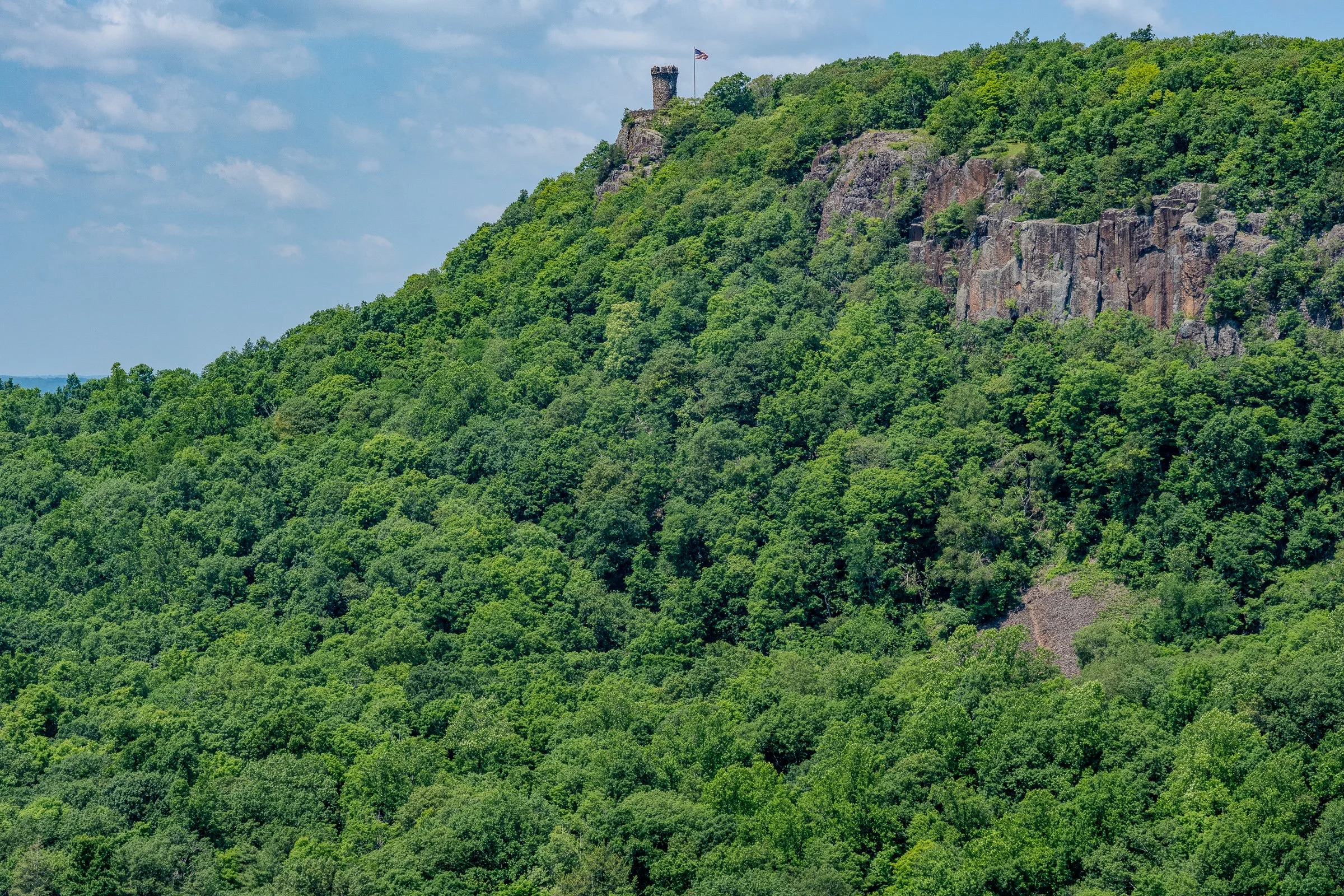
Merimere Reservoir Overlook
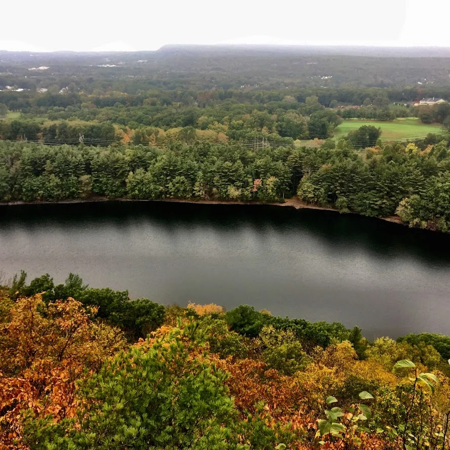
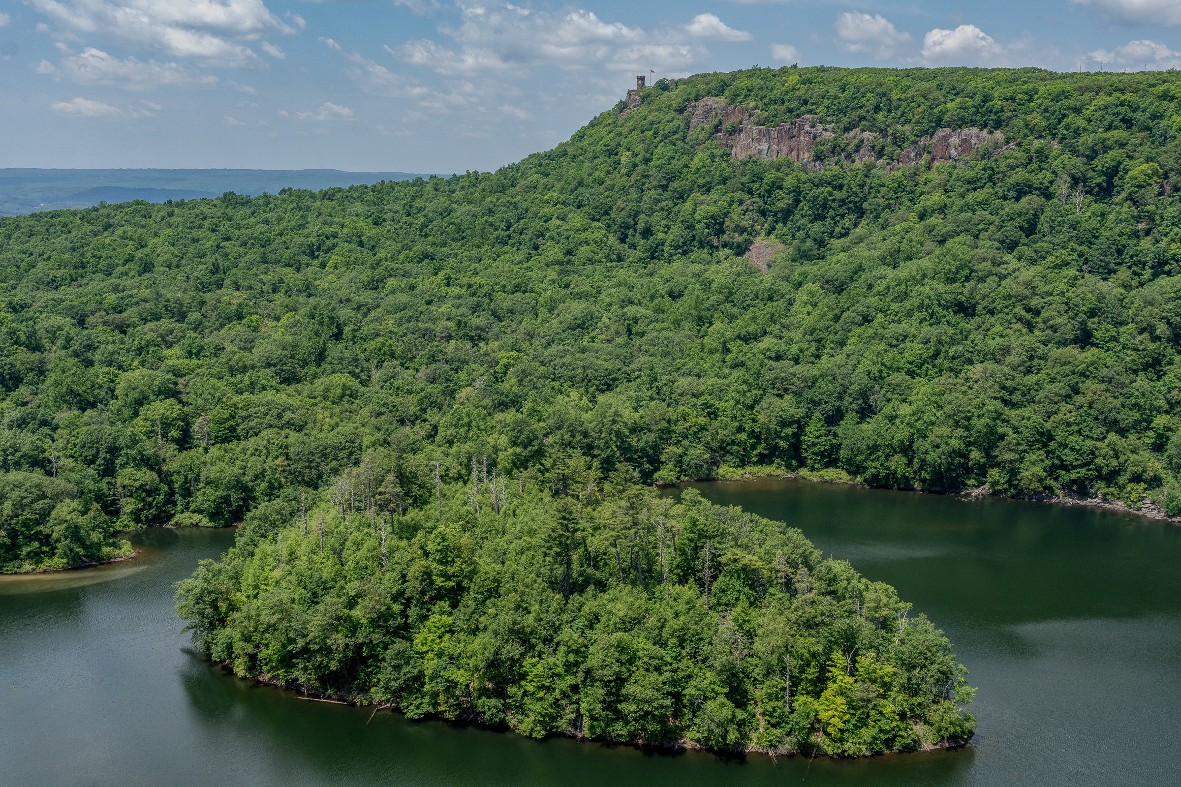
The first major overlook provides a gorgeous view across Merimere Reservoir.
Mine Island sits prominently in the water, with East Peak rising behind it. Castle Craig may also be visible along the ridgeline. This is the money-shot view of the hike and a great place to stop, catch your breath, and take a ridiculous number of pictures.
The open ridgeline provides a wide view across the reservoir and surrounding Hanging Hills. It feels like a much bigger mountain experience than you might expect from central Connecticut.
South Mountain rises to approximately 767 feet, while the reservoir and surrounding valleys sit several hundred feet below the cliffs.
Downtown Meriden Overlook
After taking in the reservoir views, return to the main loop trail and continue along the ridge.
The woods road dips and climbs gently before reaching another open viewpoint. This side of South Mountain provides a dramatic look toward downtown Meriden and the developed areas surrounding Hubbard Park.
The contrast is interesting. One minute you are looking across a quiet reservoir toward Castle Craig, and the next you are standing above the city.
Continue following the ridgeline through the open woods. Trail markings may still be inconsistent, but the main route is usually easy enough to identify.
Target View and the Return Route
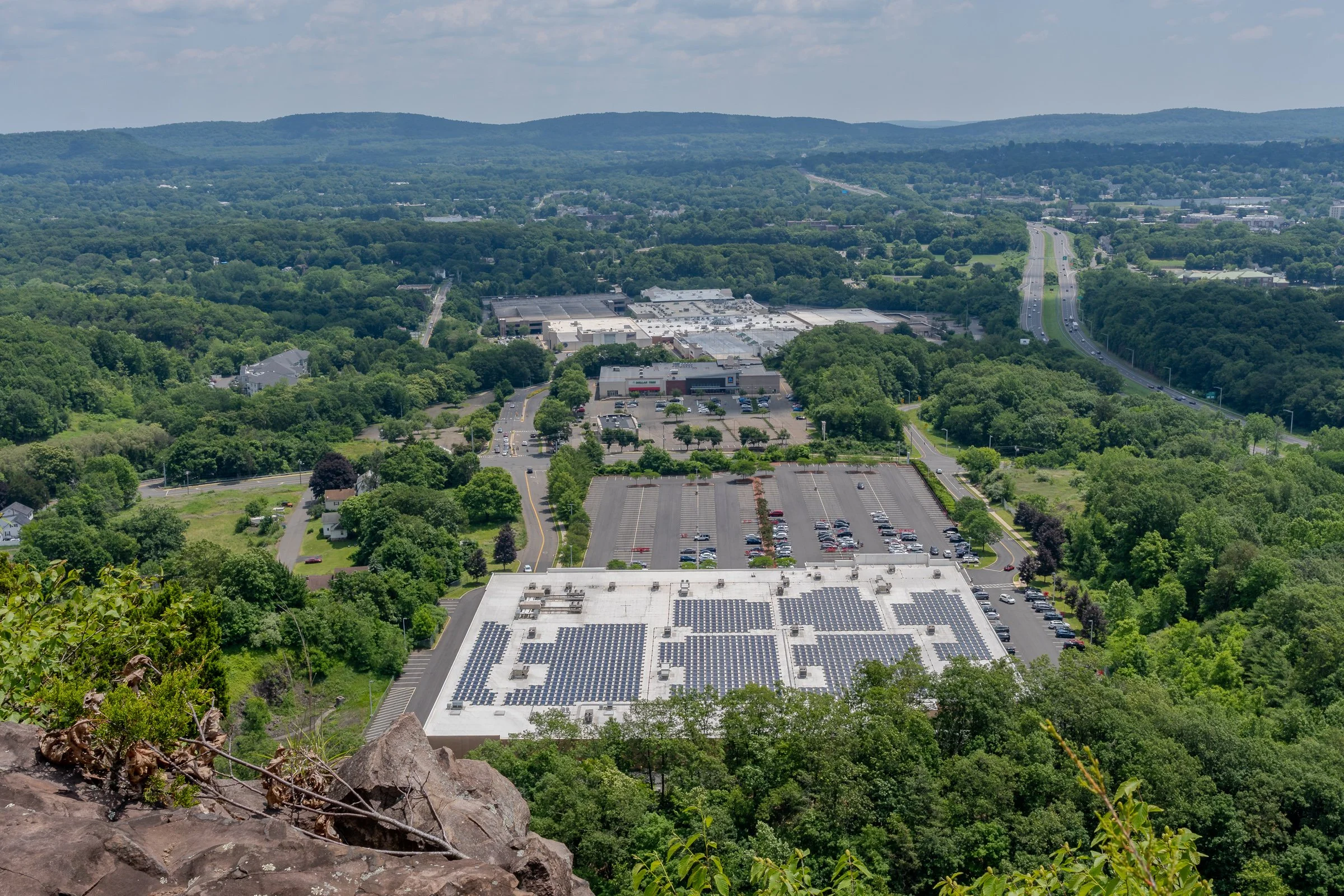
As the trail curves around the mountain, you will reach the east-facing cliffs sometimes referred to as the Target View. The shopping area sits directly below, with Interstate 691 and several additional traprock ridges visible in the distance.
It may not be the classic wilderness view, but it shows just how suddenly South Mountain rises above the surrounding city.
Continue descending on the woods road. This portion completes the loop and eventually returns to the earlier intersection near Elmere Reservoir.
Once you reconnect with the blue-blazed Metacomet Trail, turn right and retrace the opening section of the hike. Pass Elmere Reservoir and the water tank before returning to Chamberlain Highway.
Nearby Things to Do
It would not be Hiking for Donuts without a post-hike treat. Swiches & Coffee Donuts is a good option in town. After this hike, me and my buddy went to the local brewery, Coles Road Brewing. Also, Kensington Pizza is a big spot locally. Downtown Berlin has been getting new restaurants so be sure to stop in town.
Neil’s Donuts in Wallingford is a solid option as well after exploring South Mountain. It is not too far away for some amazing donuts.
Other Connecticut Hikes Nearby
Looking for more scenic Connecticut hikes?
Follow Hiking For Donuts on Instagram for more New England hiking adventures.

HIKING FOR DONUTS
Hi, I’m Mark. I live in Connecticut. I take new trips every chance I get. A good trip has a great hike, great food, and something fun to do. My goal is to search out new trips and share them to inspire others to try something new and exciting.
If you are looking for posts in a particular place, search City or State here.
SEE OTHER POSTS IN ARCHIVE
Archive
RECOMMENDED POSTS


RECENT POSTS



See the latest on Instagram and follow @HIKINGFORDONUTS