

Storm King Mountain, New York
Trail Description: Storm King Mountain offers one of best views in the Hudson Valley. The hike includes an initial steep hike to the top of Butter Hill, but the gratifying views at the top are worth the effort.
Trail Info:
Where: Storm King Mountain, Cornwall, NY Distance: 2.7 miles (2.5-3 hours) Difficulty: Moderate to Difficult Trail Type: Loop Features: Ruins, Mountains, Views, River, Views, Bridge
How to get there:
Heading south on Rt 9W from Newburgh, cross under the overpass for Angola Road. You will begin climbing a hill (in your car!) and on your left you will the parking lot for the Storm King Mountain. However, you can’t make a left here because it is an illegal turn. Continue driving a few miles until reaching the exit at Rt 218/Rt 293. Get back on Rt 9W and circle back to the parking lot. If you type in this address: 1750 US Rte 9W, Cornwall=on-Hudson, NY 12518, this should sufficient enough for the GPS.
Hiking Tips
Get there early for a less crowded trail.
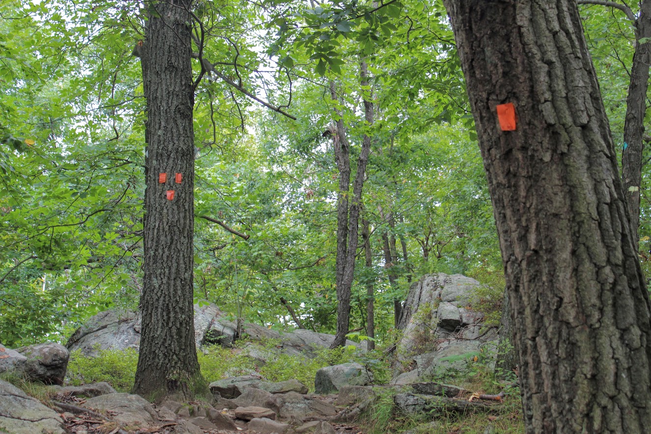
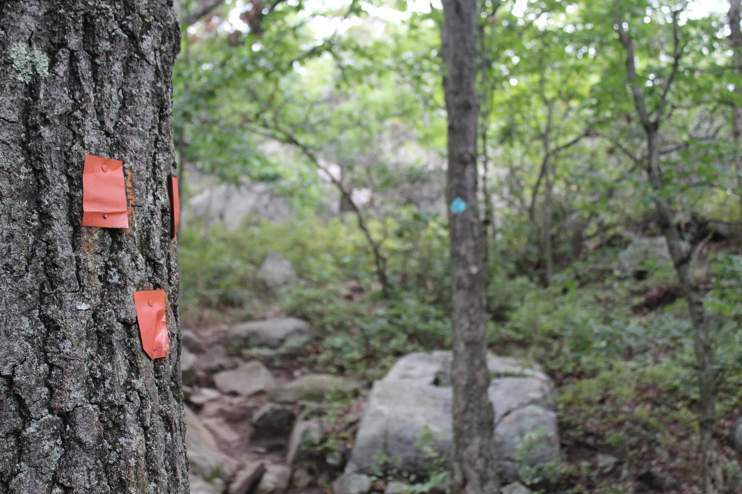
Start on the orange trail in the beginning (not the white trail).
Pay close attention to when markers change colors
Bring hiking poles
THE HIKE
During the summer, I made a list of hikes I wanted to accomplish by the end of the year. Somehow, some way I was going to make them happen. I wanted to end the year hiking awesome and challenging trails. Storm King Mountain was high on my list. I came across this hike first on Instagram, of course. The pictures looked stunning. Since I do frequently travel to the Hudson Valley area, all I had to do was make the time. The hike does look intimidating but it wasn’t that bad. I would have liked better weather on this day, as it was a tad cloudy with overcast. But, the hike was really fun and awesome views nonetheless.
View from the parking lot.
This hike is really popular. Get there earlier or try a weekday if you can. There were already a lot of cars and a shuttle bus of tourists by 930am. After we got our gear ready, the trailhead was to our left facing the woods. We saw the white trail on our right. I read hopping on the orange trail was the way to go. And, that was 100% accurate. It is more difficult in the beginning but I rather have fresher legs climbing up. The orange trail starts off steep right away. I found this part super fun. It was strictly a steep incline climbing up. The rocky path was taking us up to Butter Hill. Looking back, we witnessed some cool views of the highway as it started to disappear.


First of many views on the hike.
Model climber.
Once all the climbing was done, we reached some small ruins. Keeping the orange markers in our sights, we continued up toward Butter Hill. A little more views started to appear. There is an important decision to be made on the trail. The Orange Trail abruptly ends as the blue Yellow Trail markings appear (you will see blue marking first) . Turning right at this junction, lead us on the correct path. I have read this is a point in the hike where people take a left and get lost. One more time, turn RIGHT when the Orange Trails ends or your day hiking will be regretful.
Ruins.
highway overlook.
We reached Butter Hill in about a half an hour from the start of the hike. This is the highest point of the hike at 1,375 feet. Continuing forward there still was some uphill stretches as the blue/yellow trail moseys across the mountain. There are intersections where the blue/red marked trail is on your left. However, you want to turn right on the blue/yellow trail you will see a small cairn. It is easy to get off track with all the intersecting trails. You will see a blue-blazed, don’t fall for it. Just stick to blue/yellow trails at this point.
Continuing around the mountain….
turn right toward the yellow blue trail.
From here, the hike took us to the northern end of Storm King Mountain. Not quite the money shot view. Just a little tease of what it is next .
almost there.
A little bit past this spot, we reached a rocky field in the open and BOOM. Stunning landscape. There are wide views of Newburgh Bay, Bannerman’s Castle, and the Newburgh-Beacon Bridge. On a clear day, the Catskills are visible. We could see some sail boats in the Hudson River as well. A very cool summit view.
newburgh bay.
this is why you hike this trail.
After taking an excessive amount of pictures, we hopped back on the blue/yellow trail. Going down, we noticed some more cool overlooks on our left looking at the town of Cold Spring and getting a smaller glimpse of the summit view. I recommend taking a look. Shortly after the awesome view, the White Trail markers will appear. Taking a sharp left around the mountain with a U-turn, we started on the White Trail. And soon after, the trail will be blazed with blue and white markers. BUT, then the blue markers will fade and this goes back to only white markers. And now, the white markers will take you back to the parking lot. There is one last steep uphill climb before the parking lot to give you a nice good-bye and keep your heart pumping.
Views of cold spring as you hike down.


That's what I call a bang for your buck hike. The hike was very challenging, the hike wasn't too long, and there a multiple magnificent views for photo opportunities. And, I had a blast hiking it. The trail route we took was about 2.7 miles and took us under 3 hrs, including probably 30 mins of me taking pics. There are some very steep inclines but nothing your average hiker can't overcome. As long as you start the hard way first, the hike ain't so bad. This is one of the best hikes in the Hudson Valley hands down. I am happy to check this off the list, but now I want to go back!
Amazing.

HIKING FOR DONUTS
A blog for the outdoors foodie enthusiast
Hi, I’m Mark. I live in Connecticut. I take new trips every chance I get. A good trip has a great hike, great food, and something fun to do. My goal is to search out new trips and share them to inspire others to try something new and exciting.
If you are looking for posts in a particular place, search by city or state here.
EXPLORE OTHER POSTS IN THE ARCHIVE
Archive
RECOMMENDED POSTS


MOST RECENT POSTS


See where I have been recently on Instagram. Follow @HIKINGFORDONUTS


