Meeker Trail, Macricostas Preserve, New Preston, CT
Trail Description: The Meeker Trail is the most popular hiking trail in the Macricostas Preserve that includes views from the Macricostas Lookout and eventually stunning vistas at Waramaug’s Rock summit.
Trail Info:
Where: New Preston, CT Distance: 3.2m (2 hours) Difficulty: Moderate Trail Type: Out & Back Features: Views, Mountains, Valley, Lake, Water
How to get there:
124 Christian St, New Preston, CT 06777
https://goo.gl/maps/bL3cHowWumEohJn26
Once you get to Christian Street, look for the red house and the trailhead is behind this house. There are markers and the lot is visible from the street.
Hiking Tips
Bring bug spray!
Download a copy of the trail map here. Cell service can be spotty or non-existent.
There are multiple trail options at this preserve. This guide is for the out & back using the yellow trail. You can add the orange trail to make it a loop.
One of the better marked trails in CT but keep an eye out to make sure to follow the color markers.
The Hike
From the parking lot, the Kiosk for the start of the trail is visible past the boardwalk. Follow the yellow trail on the right. The Meeker Trail is 1.6 miles to Waramaug’s Rock summit.
The trail starts easily crossing a bridge and footbridge through the meadow (pretty buggy here).
This will lead to the trail marker to take a left onto yellow and continue walking along the hayfield.
Proceed to follow the yellow trail markers as the Meeker Trail turns left through Meeker Swamp on wooden planks crossing another bridge and continues along the planks.
In roughly 0.2 miles, the trail comes to an intersection with the orange marked Ridgeline Trail. Stick to the right to resume on the Meeker Trail following the yellow trail.
At this point, the trail ascends gradually then becomes steeper along some switchbacks. There is a junction that passes the white trail but continue to follow the yellow trail.
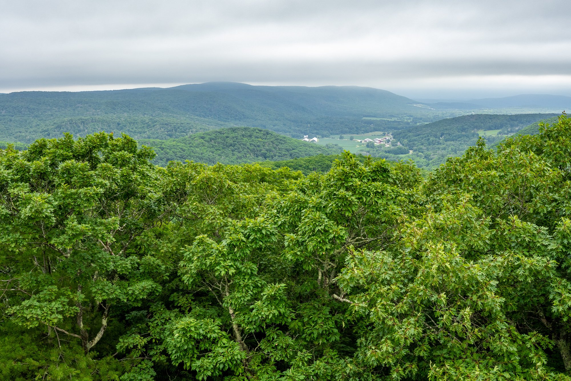
The first viewpoint will be the Macricrostas Lookout at 1,092 feet elevation with views of the hayfield below and surrounding area.
From here, continue on the yellow trail as the ascend to Waramaug’s Rock becomes much steeper.
After about 0.4 miles, the trail reaches a rock slab to climb to the summit of Waramaug’s Rock.
Waramaug’s Rock reaches an elevation of 1,280 feet with an amazing panoramic view of Lake Waramaug and the surrounding valley. There is the one dead on center view but do some exploring at the summit to see all the views to the left (southwest) as well.
After all the views are soaked in, head back the same way down the yellow trail. At 0.4 miles, there is a junction to continue on the yellow trail going the same way or hop on the orange trail to do a loop back down to the parking lot. This will add 0.7 miles to the hike. It was pretty hot and beers were calling my name at Kent Falls Brewing so I decided to just do an out and back.
HIKING FOR DONUTS
Hi, I’m Mark. I live in Connecticut. I take new trips every chance I get. A good trip has a great hike, great food, and something fun to do. My goal is to search out new trips and share them to inspire others to try something new and exciting.
If you are looking for posts in a particular place, search City or State here.
SEE OTHER POSTS IN ARCHIVE
RECOMMENDED POSTS
RECENT POSTS
See the latest on Instagram and follow @HIKINGFORDONUTS


